Earthquake Southern Alaska
Mon, 16 Feb 2026 08:32:48 GMT
Time2 days ago
Location
59.5315, -152.2939
Depth
13.3 KM
Event Summary
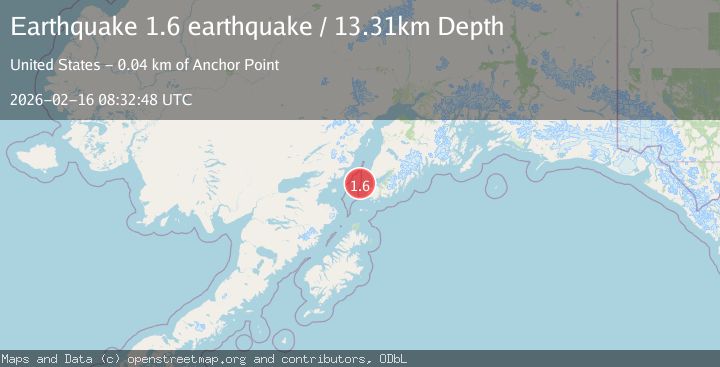
A 1.6 magnitude earthquake struck on Southern Alaska, at Mon, 16 Feb 2026 08:32:48 GMT. Depth: 13.3056640625km. Reviewed by VYT seismologists, this minor quake occurred at a magnitude type of earthquake.
Magnitude
1.6
earthquake
Source
VYT
Intensity
-
Agency Reports
1 Sources| Source | Magnitude | Depth | Time |
|---|---|---|---|
| VYTPrimary | 1.6 | 13 km | 2 days ago |
Earthquake Details
AutomaticEvent IDvyt_sxc69rfd721z
Tsunami PotentialNo
Magnitude Typeearthquake
Nearest Places
- Jakolof Bay15.3 km
- Dangerous Cape Reef25.6 km
- Point Pogibshi25.8 km
- Dangerous Cape26.6 km
- Bird Reef26.6 km
Comments
Join the discussion about this event.
Latest Earthquakes
2.7Mag
Tarapaca, Chile
Time3 hours ago
Depth10.50 km
SourceVYT (Automatic)
2.8Mag
Flores Sea
Time3 hours ago
Depth187.74 km
SourceVYT (Automatic)
1.4Mag
7 km ESE of Wrightwood, CA
Time3 hours ago
Depth11.86 km
SourceUSGS (Automatic)
1.4Mag
Tarapaca, Chile
Time3 hours ago
Depth13.06 km
SourceVYT (Automatic)
1.2Mag
47 km ESE of McCarthy, Alaska
Time3 hours ago
Depth4.30 km
SourceUSGS (Automatic)
Nearby Earthquakes
3.2Mag
32 km NW of Nanwalek, Alaska
Time1 week ago
Depth65.50 km
SourceUSGS (Automatic)
3.2Mag
SOUTHERN ALASKA
Time1 week ago
Depth65.50 km
SourceAK (Automatic)
1.9Mag
Southern Alaska
Time5 days ago
Depth88.38 km
SourceVYT (Automatic)
2.3Mag
Southern Alaska
Time3 days ago
Depth69.46 km
SourceVYT (Automatic)
5.0Mag
SOUTHERN ALASKA
Time20 years ago
Depth68.00 km
SourceEMSC (Automatic)