Earthquake Southeastern Alaska
Tue, 17 Feb 2026 06:14:21 GMT
Time1 day ago
Location
60.2779, -139.8099
Depth
0.0 KM
Event Summary
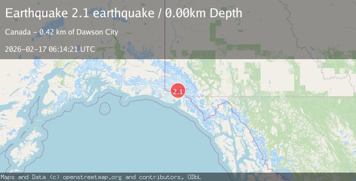
A 2.1 magnitude earthquake struck on Southeastern Alaska, at Tue, 17 Feb 2026 06:14:21 GMT. Depth: 0km. Reviewed by VYT seismologists, this minor quake occurred at a magnitude type of earthquake.
Magnitude
2.1
earthquake
Source
VYT
Intensity
-
Agency Reports
1 Sources| Source | Magnitude | Depth | Time |
|---|---|---|---|
| VYTPrimary | 2.1 | 0 km | 1 day ago |
Earthquake Details
AutomaticEvent IDvyt_twgbeyczfulu
Tsunami PotentialNo
Magnitude Typeearthquake
Nearest Places
- Saint Elias Mountains9.7 km
- Mount Vancouver10.9 km
- Mount Cook14.3 km
- Mount Cook14.3 km
- Valerie Glacier15.3 km
Comments
Join the discussion about this event.
Latest Earthquakes
0.5Mag
Southern Alaska
Time1 minute ago
Depth0.00 km
SourceVYT (Automatic)
3.8Mag
Tarapaca, Chile
Time5 minutes ago
Depth93.51 km
SourceVYT (Automatic)
2.5Mag
Ceram Sea
Time6 minutes ago
Depth3.27 km
SourceBMKG
2.1Mag
Halmahera, Indonesia
Time9 minutes ago
Depth4.45 km
SourceBMKG
3.4Mag
Talaud Islands, Indonesia
Time12 minutes ago
Depth98.99 km
SourceBMKG
Nearby Earthquakes
2.6Mag
85 km N of Yakutat, Alaska
Time1 week ago
Depth0.40 km
SourceUSGS (Automatic)
4.1Mag
SOUTHERN YUKON TERRITORY, CANADA
Time2 weeks ago
Depth0.50 km
SourceAK (Automatic)
2.5Mag
87 km N of Yakutat, Alaska
Time2 weeks ago
Depth5.00 km
SourceUSGS (Automatic)
4.0Mag
SOUTHERN YUKON TERRITORY, CANADA
Time2 months ago
Depth2.10 km
SourceAK (Automatic)
3.0Mag
SOUTHERN YUKON TERRITORY, CANADA
Time5 years ago
Depth8.00 km
SourceNEIC (Automatic)