Earthquake Banda Sea
Thu, 22 Jan 2026 14:19:11 GMT
Time5 days ago
Location
-7.7373, 127.6931
Depth
117.8 KM
Event Summary
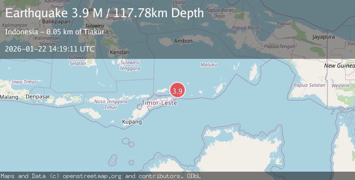
A 3.9 magnitude earthquake struck on Banda Sea, at Thu, 22 Jan 2026 14:19:11 GMT. Depth: 117.777847km. Reviewed by BMKG seismologists, this minor quake occurred at a magnitude type of M.
Magnitude
3.9
M
Source
BMKG
Intensity
-
Agency Reports
1 Sources| Source | Magnitude | Depth | Time |
|---|---|---|---|
| BMKGPrimary | 3.9 | 118 km | 5 days ago |
Earthquake Details
AutomaticEvent IDbmg2026bnlx
Tsunami PotentialNo
Magnitude TypeM
Nearest Places
- Tanjung Liyiar16.8 km
- Pulau Juha17.6 km
- Pulau Maopora19.6 km
- Pulau Kital26.0 km
- Pulau Limutu28.0 km
Comments
Join the discussion about this event.
Latest Earthquakes
2.8Mag
WESTERN TEXAS
Time1 hour ago
Depth1.70 km
SourceTX (Automatic)
3.1Mag
Minahassa Peninsula, Sulawesi
Time1 hour ago
Depth5.00 km
SourceBMKG (Automatic)
1.8Mag
7 km SW of Furnace Creek, California
Time1 hour ago
Depth4.54 km
SourceUSGS (Automatic)
2.3Mag
Flores Sea
Time1 hour ago
Depth17.26 km
SourceBMKG (Automatic)
2.6Mag
PAPUA, INDONESIA
Time1 hour ago
Depth10.00 km
SourceBMKG (Automatic)
Nearby Earthquakes
5.6Mag
Banda Sea
Time1 day ago
Depth179.61 km
SourceBMKG (Automatic)
3.7Mag
Banda Sea
Time2 days ago
Depth206.55 km
SourceBMKG (Automatic)
3.8Mag
KEPULAUAN BARAT DAYA, INDONESIA
Time2 hours ago
Depth110.00 km
SourceBMKG (Automatic)
3.8Mag
Banda Sea
Time5 days ago
Depth199.25 km
SourceBMKG (Automatic)
4.0Mag
Banda Sea
Time1 day ago
Depth185.83 km
SourceBMKG (Automatic)