Earthquake Near North Coast of Papua New Guinea
Thu, 29 Jan 2026 17:09:05 GMT
Time7 hours ago
Location
-2.4078, 142.5833
Depth
10.0 KM
Event Summary
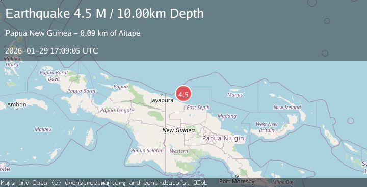
A 4.4 magnitude earthquake struck on Near North Coast of Papua New Guinea, at Thu, 29 Jan 2026 17:09:05 GMT. Depth: 10km. Reviewed by BMKG seismologists, this light quake occurred at a magnitude type of M.
Magnitude
4.4
M
Source
BMKG
Intensity
-
Agency Reports
1 Sources| Source | Magnitude | Depth | Time |
|---|---|---|---|
| BMKGPrimary | 4.4 | 10 km | 7 hours ago |
Earthquake Details
AutomaticEvent IDbmg2026cama
Tsunami PotentialNo
Magnitude TypeM
Nearest Places
- Point Sumsumuna77.1 km
- Auna Village77.5 km
- Warrego Shoal78.4 km
- Awuane Islet78.8 km
- Maloe Bay79.3 km
Comments
Join the discussion about this event.
Latest Earthquakes
1.9Mag
138 km SSE of McCarthy, Alaska
Time7 hours ago
Depth19.30 km
SourceUSGS (Automatic)
3.5Mag
Southwest of Sumatra, Indonesia
Time8 hours ago
Depth27.10 km
SourceBMKG (Automatic)
2.3Mag
West Papua Region, Indonesia
Time8 hours ago
Depth14.18 km
SourceBMKG (Automatic)
1.3Mag
4 km S of Brawley, CA
Time8 hours ago
Depth5.56 km
SourceUSGS (Automatic)
3.3Mag
PUERTO RICO REGION
Time8 hours ago
Depth20.70 km
SourcePR (Automatic)
Nearby Earthquakes
3.8Mag
New Guinea, Papua New Guinea
Time1 day ago
Depth10.00 km
SourceBMKG (Automatic)
2.3Mag
Near North Coast of West Papua
Time1 week ago
Depth10.00 km
SourceBMKG (Automatic)
2.2Mag
Near North Coast of West Papua
Time6 days ago
Depth30.05 km
SourceBMKG (Automatic)
2.5Mag
Near North Coast of West Papua
Time3 days ago
Depth10.00 km
SourceBMKG (Automatic)
2.1Mag
Near North Coast of West Papua
Time4 days ago
Depth10.00 km
SourceBMKG (Automatic)