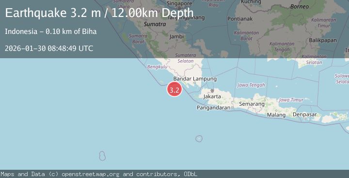
Earthquake Southwest of Sumatra, Indonesia
Fri, 30 Jan 2026 08:48:49 GMT
Time1 hour ago
Location
-6.0253, 103.4366
Depth
26.8 KM
Event Summary
A 3.1 magnitude earthquake struck on Southwest of Sumatra, Indonesia, at Fri, 30 Jan 2026 08:48:49 GMT. Depth: 26.827961km. Reviewed by BMKG seismologists, this minor quake occurred at a magnitude type of M.
Magnitude
3.1
M
Source
BMKG
Intensity
-
Agency Reports
1 Sources| Source | Magnitude | Depth | Time |
|---|---|---|---|
| BMKGPrimary | 3.1 | 27 km | 1 hour ago |
Earthquake Details
AutomaticEvent IDbmg2026cbra
Tsunami PotentialNo
Magnitude TypeM
Nearest Places
- Enggano Basin34.8 km
- Wai Tembuli98.5 km
- Wai Ngambur98.8 km
- Desa Muara Tembulih99.3 km
- Wai Marang99.5 km
Comments
Join the discussion about this event.
Latest Earthquakes
0.8Mag
17 km NE of Pine Valley, CA
Time1 hour ago
Depth4.90 km
SourceUSGS (Automatic)
3.2Mag
Near North Coast of West Papua
Time1 hour ago
Depth10.00 km
SourceBMKG (Automatic)
0.7Mag
7 km S of Pearblossom, CA
Time1 hour ago
Depth9.52 km
SourceUSGS (Automatic)
3.1Mag
Flores Region, Indonesia
Time1 hour ago
Depth85.93 km
SourceBMKG (Automatic)
2.2Mag
Sumbawa Region, Indonesia
Time2 hours ago
Depth10.00 km
SourceBMKG (Automatic)
Nearby Earthquakes
2.9Mag
SOUTHWEST OF SUMATRA, INDONESIA
Time1 week ago
Depth10.00 km
SourceBMKG (Automatic)
3.3Mag
Southwest of Sumatra, Indonesia
Time2 days ago
Depth25.24 km
SourceBMKG (Automatic)
2.9Mag
Southern Sumatra, Indonesia
Time4 days ago
Depth22.12 km
SourceBMKG (Automatic)
3.5Mag
Southwest of Sumatra, Indonesia
Time17 hours ago
Depth27.10 km
SourceBMKG (Automatic)
2.9Mag
Southwest of Sumatra, Indonesia
Time1 week ago
Depth94.33 km
SourceBMKG (Automatic)