Earthquake West Papua, Indonesia
Sat, 31 Jan 2026 17:10:38 GMT
Time3 hours ago
Location
-3.1154, 140.7792
Depth
10.0 KM
Event Summary
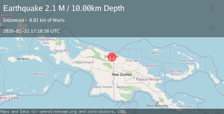
A 2.1 magnitude earthquake struck on West Papua, Indonesia, at Sat, 31 Jan 2026 17:10:38 GMT. Depth: 10km. Reviewed by BMKG seismologists, this minor quake occurred at a magnitude type of M.
Magnitude
2.1
M
Source
BMKG
Intensity
-
Agency Reports
1 Sources| Source | Magnitude | Depth | Time |
|---|---|---|---|
| BMKGPrimary | 2.1 | 10 km | 3 hours ago |
Earthquake Details
AutomaticEvent IDbmg2026cedc
Tsunami PotentialNo
Magnitude TypeM
Nearest Places
- Kampung Ampas4.7 km
- Kampung Uskwar8.9 km
- Kampung Pyawi9.4 km
- Distrik Mannem9.6 km
- Ampas10.0 km
Comments
Join the discussion about this event.
Latest Earthquakes
1.0Mag
26 km ENE of Cantwell, Alaska
Time3 hours ago
Depth2.90 km
SourceUSGS (Automatic)
1.0Mag
18 km NNE of Indio, CA
Time3 hours ago
Depth4.56 km
SourceUSGS (Automatic)
2.8Mag
Flores Region, Indonesia
Time4 hours ago
Depth127.63 km
SourceBMKG (Automatic)
2.3Mag
Bali Sea
Time4 hours ago
Depth18.29 km
SourceBMKG (Automatic)
3.4Mag
Northern Molucca Sea
Time4 hours ago
Depth1.11 km
SourceBMKG (Automatic)
Nearby Earthquakes
3.1Mag
West Papua, Indonesia
Time1 week ago
Depth41.57 km
SourceBMKG (Automatic)
3.7Mag
West Papua, Indonesia
Time4 days ago
Depth73.14 km
SourceBMKG (Automatic)
2.8Mag
West Papua, Indonesia
Time3 days ago
Depth61.32 km
SourceBMKG (Automatic)
2.3Mag
Near North Coast of West Papua
Time1 week ago
Depth10.00 km
SourceBMKG (Automatic)
2.5Mag
West Papua, Indonesia
Time1 week ago
Depth10.00 km
SourceBMKG (Automatic)