Earthquake Northern Molucca Sea
Sun, 01 Feb 2026 01:44:16 GMT
Time1 day ago
Location
0.8748, 126.3432
Depth
18.9 KM
Event Summary
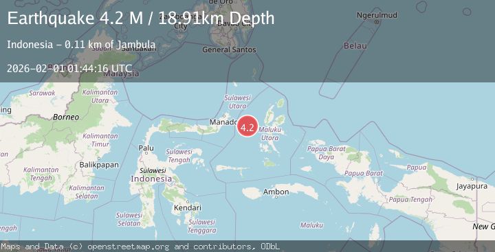
A 4.2 magnitude earthquake struck on Northern Molucca Sea, at Sun, 01 Feb 2026 01:44:16 GMT. Depth: 18.914474km. Reviewed by BMKG seismologists, this light quake occurred at a magnitude type of M.
Magnitude
4.2
M
Source
BMKG
Intensity
-
Agency Reports
1 Sources| Source | Magnitude | Depth | Time |
|---|---|---|---|
| BMKGPrimary | 4.2 | 19 km | 1 day ago |
Earthquake Details
AutomaticEvent IDbmg2026ceua
Tsunami PotentialNo
Magnitude TypeM
Nearest Places
- Kelurahan Tifure24.4 km
- Pulau Tifore25.0 km
- Pulau Gureda25.1 km
- Kelurahan Pantai Sagu25.7 km
- Tanjung Geranomaderi43.8 km
Comments
Join the discussion about this event.
Latest Earthquakes
4.2Mag
Sumbawa Region, Indonesia
Time2 hours ago
Depth10.00 km
SourceBMKG (Automatic)
0.7Mag
5 km NNW of The Geysers, CA
Time2 hours ago
Depth1.68 km
SourceUSGS (Automatic)
2.6Mag
Flores Region, Indonesia
Time2 hours ago
Depth8.34 km
SourceBMKG (Automatic)
2.5Mag
Northern Sumatra, Indonesia
Time2 hours ago
Depth198.72 km
SourceBMKG (Automatic)
3.0Mag
COOK STRAIT, NEW ZEALAND
Time2 hours ago
Depth99.80 km
SourceGNS (Automatic)
Nearby Earthquakes
3.6Mag
Northern Molucca Sea
Time3 days ago
Depth10.00 km
SourceBMKG (Automatic)
3.7Mag
Northern Molucca Sea
Time3 days ago
Depth60.98 km
SourceBMKG (Automatic)
2.8Mag
MOLUCCA SEA
Time15 hours ago
Depth23.00 km
SourceBMKG (Automatic)
3.0Mag
Northern Molucca Sea
Time1 week ago
Depth25.04 km
SourceBMKG (Automatic)
3.1Mag
Northern Molucca Sea
Time1 week ago
Depth27.94 km
SourceBMKG (Automatic)