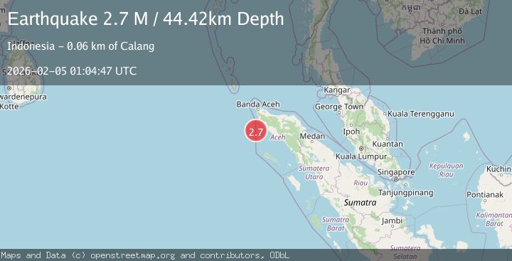
Earthquake Northern Sumatra, Indonesia
Thu, 05 Feb 2026 01:04:52 GMT
Time8 hours ago
Location
4.6996, 95.2670
Depth
43.3 KM
Event Summary
A 2.3 magnitude earthquake struck on Northern Sumatra, Indonesia, at Thu, 05 Feb 2026 01:04:52 GMT. Depth: 43.268963km. Reviewed by BMKG seismologists, this minor quake occurred at a magnitude type of M.
Magnitude
2.3
M
Source
BMKG
Intensity
-
Agency Reports
1 Sources| Source | Magnitude | Depth | Time |
|---|---|---|---|
| BMKGPrimary | 2.3 | 43 km | 8 hours ago |
Earthquake Details
AutomaticEvent IDbmg2026cmat
Tsunami PotentialNo
Magnitude TypeM
Nearest Places
- Ujung Gla21.1 km
- Gle Gla21.5 km
- Ujung Meurok21.6 km
- Ujung Lipeh21.6 km
- Pulau Keueh21.7 km
Comments
Join the discussion about this event.
Latest Earthquakes
3.9Mag
Sulawesi, Indonesia
Time8 hours ago
Depth5.00 km
SourceBMKG (Automatic)
2.9Mag
Banda Sea
Time8 hours ago
Depth214.85 km
SourceBMKG (Automatic)
2.7Mag
Near North Coast of West Papua
Time8 hours ago
Depth10.00 km
SourceBMKG (Automatic)
0.9Mag
SWITZERLAND
Time8 hours ago
Depth6.10 km
SourceETHZ (Automatic)
0.6Mag
2 km SSW of Julian, CA
Time8 hours ago
Depth12.54 km
SourceUSGS (Automatic)
Nearby Earthquakes
2.1Mag
Northern Sumatra, Indonesia
Time4 days ago
Depth22.75 km
SourceBMKG (Automatic)
3.0Mag
Northern Sumatra, Indonesia
Time6 days ago
Depth50.37 km
SourceBMKG (Automatic)
2.8Mag
Off West Coast of Northern Sumatra
Time2 days ago
Depth56.43 km
SourceBMKG (Automatic)
2.7Mag
Northern Sumatra, Indonesia
Time6 days ago
Depth4.82 km
SourceBMKG (Automatic)
3.4Mag
Northern Sumatra, Indonesia
Time5 days ago
Depth72.74 km
SourceBMKG (Automatic)