Earthquake Near North Coast of West Papua
Thu, 05 Feb 2026 01:47:38 GMT
Time4 hours ago
Location
-2.4315, 140.7568
Depth
10.0 KM
Event Summary
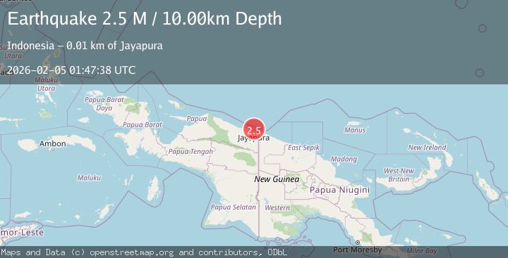
A 2.5 magnitude earthquake struck on Near North Coast of West Papua, at Thu, 05 Feb 2026 01:47:38 GMT. Depth: 10km. Reviewed by BMKG seismologists, this minor quake occurred at a magnitude type of M.
Magnitude
2.5
M
Source
BMKG
Intensity
-
Agency Reports
1 Sources| Source | Magnitude | Depth | Time |
|---|---|---|---|
| BMKGPrimary | 2.5 | 10 km | 4 hours ago |
Earthquake Details
AutomaticEvent IDbmg2026cmce
Tsunami PotentialNo
Magnitude TypeM
Nearest Places
- Kelurahan Tanjung Ria9.5 km
- Kelurahan Imbi10.5 km
- Kelurahan Trikora11.3 km
- Kampung Kayo Batu11.3 km
- Tanjung Suaja11.5 km
Comments
Join the discussion about this event.
Latest Earthquakes
2.4Mag
13 km W of Kenai, Alaska
Time4 hours ago
Depth69.00 km
SourceUSGS (Automatic)
1.5Mag
6 km E of Warner Springs, CA
Time4 hours ago
Depth26.31 km
SourceUSGS (Automatic)
2.7Mag
ALBANIA
Time4 hours ago
Depth15.20 km
SourceNOA (Automatic)
3.3Mag
JUJUY, ARGENTINA
Time4 hours ago
Depth238.80 km
SourceCSN (Automatic)
0.4Mag
8 km W of Cobb, CA
Time4 hours ago
Depth1.66 km
SourceUSGS (Automatic)
Nearby Earthquakes
3.0Mag
Near North Coast of West Papua
Time5 days ago
Depth10.00 km
SourceBMKG (Automatic)
2.6Mag
Near North Coast of West Papua
Time12 hours ago
Depth10.00 km
SourceBMKG (Automatic)
2.5Mag
Near North Coast of West Papua
Time1 week ago
Depth10.00 km
SourceBMKG (Automatic)
2.2Mag
Near North Coast of West Papua
Time1 week ago
Depth30.05 km
SourceBMKG (Automatic)
2.8Mag
Near North Coast of West Papua
Time1 week ago
Depth10.00 km
SourceBMKG (Automatic)