Earthquake Near North Coast of West Papua
Fri, 06 Feb 2026 04:26:34 GMT
Time3 days ago
Location
-2.5612, 140.4821
Depth
22.1 KM
Event Summary
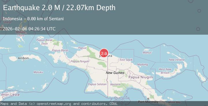
A 2.0 magnitude earthquake struck on Near North Coast of West Papua, at Fri, 06 Feb 2026 04:26:34 GMT. Depth: 22.074774km. Reviewed by BMKG seismologists, this minor quake occurred at a magnitude type of M.
Magnitude
2.0
M
Source
BMKG
Intensity
-
Agency Reports
1 Sources| Source | Magnitude | Depth | Time |
|---|---|---|---|
| BMKGPrimary | 2.0 | 22 km | 3 days ago |
Earthquake Details
AutomaticEvent IDbmg2026cocx
Tsunami PotentialNo
Magnitude TypeM
Nearest Places
- Hinekombe0.9 km
- Kelurahan Hinekombe1.2 km
- Air Deyau1.8 km
- Weversdorp2.4 km
- Kelurahan Dobonsolo2.8 km
Comments
Join the discussion about this event.
Latest Earthquakes
0.7Mag
8 km NW of The Geysers, CA
Time7 minutes ago
Depth2.16 km
SourceUSGS (Automatic)
2.8Mag
Sumbawa Region, Indonesia
Time13 minutes ago
Depth101.39 km
SourceBMKG (Automatic)
2.1Mag
Flores Sea
Time27 minutes ago
Depth36.89 km
SourceBMKG (Automatic)
2.8Mag
ICELAND REGION
Time30 minutes ago
Depth6.30 km
SourceIMO (Automatic)
2.6Mag
Northern Molucca Sea
Time30 minutes ago
Depth10.59 km
SourceBMKG (Automatic)
Nearby Earthquakes
2.5Mag
Near North Coast of West Papua
Time1 week ago
Depth11.29 km
SourceBMKG (Automatic)
2.2Mag
Near North Coast of West Papua
Time1 week ago
Depth10.00 km
SourceBMKG (Automatic)
2.3Mag
Near North Coast of West Papua
Time1 week ago
Depth18.00 km
SourceBMKG (Automatic)
2.5Mag
Near North Coast of West Papua
Time2 weeks ago
Depth10.00 km
SourceBMKG (Automatic)
2.8Mag
Near North Coast of West Papua
Time2 weeks ago
Depth10.00 km
SourceBMKG (Automatic)