Earthquake Near North Coast of West Papua
Sat, 31 Jan 2026 18:53:51 GMT
Time8 hours ago
Location
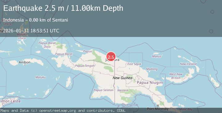
-2.5264, 140.4991
Depth
11.2 KM
Event Summary
A 2.4 magnitude earthquake struck on Near North Coast of West Papua, at Sat, 31 Jan 2026 18:53:51 GMT. Depth: 11.199509km. Reviewed by BMKG seismologists, this minor quake occurred at a magnitude type of M.
Magnitude
2.4
M
Source
BMKG
Intensity
-
Agency Reports
1 Sources| Source | Magnitude | Depth | Time |
|---|---|---|---|
| BMKGPrimary | 2.4 | 11 km | 8 hours ago |
Earthquake Details
AutomaticEvent IDbmg2026cegm
Tsunami PotentialNo
Magnitude TypeM
Nearest Places
- Kampung Doyo Baru1.7 km
- Kampung Sereh2.1 km
- Gunung Cycloop2.3 km
- Weversdorp2.6 km
- Doyo3.3 km
Comments
Join the discussion about this event.
Latest Earthquakes
4.8Mag
Mindanao, Philippines
Time9 hours ago
Depth565.17 km
SourceBMKG (Automatic)
1.9Mag
17 km E of Pāhala, Hawaii
Time9 hours ago
Depth26.31 km
SourceUSGS (Automatic)
3.4Mag
Savu Sea
Time9 hours ago
Depth0.70 km
SourceBMKG (Automatic)
3.9Mag
SALTA, ARGENTINA
Time9 hours ago
Depth239.40 km
SourceCSN (Automatic)
3.4Mag
Java, Indonesia
Time9 hours ago
Depth10.00 km
SourceBMKG (Automatic)
Nearby Earthquakes
2.3Mag
Near North Coast of West Papua
Time13 hours ago
Depth18.00 km
SourceBMKG (Automatic)
2.2Mag
Near North Coast of West Papua
Time3 days ago
Depth10.00 km
SourceBMKG (Automatic)
2.5Mag
Near North Coast of West Papua
Time5 days ago
Depth10.00 km
SourceBMKG (Automatic)
2.8Mag
Near North Coast of West Papua
Time1 week ago
Depth10.00 km
SourceBMKG (Automatic)
2.1Mag
Near North Coast of West Papua
Time6 days ago
Depth10.56 km
SourceBMKG (Automatic)