Earthquake Flores Region, Indonesia
Fri, 06 Feb 2026 17:29:59 GMT
Time1 hour ago
Location
-8.3488, 120.0483
Depth
169.2 KM
Event Summary
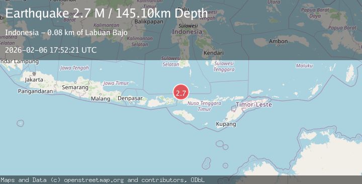
A 2.7 magnitude earthquake struck on Flores Region, Indonesia, at Fri, 06 Feb 2026 17:29:59 GMT. Depth: 169.171387km. Reviewed by BMKG seismologists, this minor quake occurred at a magnitude type of M.
Magnitude
2.7
M
Source
BMKG
Intensity
-
Agency Reports
1 Sources| Source | Magnitude | Depth | Time |
|---|---|---|---|
| BMKGPrimary | 2.7 | 145 km | 1 hour ago |
Earthquake Details
AutomaticEvent IDbmg2026cpct
Tsunami PotentialNo
Magnitude TypeM
Nearest Places
- Pulau Sababi3.1 km
- Pasirpanjang3.9 km
- Teluk Bangkau4.0 km
- Pulau Medang4.2 km
- Tanjung Kokotuku4.2 km
Comments
Join the discussion about this event.
Latest Earthquakes
2.6Mag
Flores Region, Indonesia
Time6 minutes ago
Depth10.23 km
SourceBMKG (Automatic)
2.0Mag
25 km S of Malibu, CA
Time8 minutes ago
Depth5.85 km
SourceUSGS (Automatic)
1.5Mag
7 km WNW of Cobb, CA
Time11 minutes ago
Depth2.20 km
SourceUSGS (Automatic)
2.7Mag
Northern Molucca Sea
Time11 minutes ago
Depth71.71 km
SourceBMKG (Automatic)
2.1Mag
Timor Region
Time12 minutes ago
Depth75.54 km
SourceBMKG (Automatic)
Nearby Earthquakes
2.8Mag
Flores Region, Indonesia
Time2 weeks ago
Depth174.48 km
SourceBMKG (Automatic)
2.3Mag
Flores Region, Indonesia
Time1 day ago
Depth41.23 km
SourceBMKG (Automatic)
2.5Mag
Flores Region, Indonesia
Time3 days ago
Depth170.05 km
SourceBMKG (Automatic)
2.6Mag
FLORES REGION, INDONESIA
Time1 week ago
Depth153.00 km
SourceBMKG (Automatic)
2.5Mag
Flores Region, Indonesia
Time1 week ago
Depth158.76 km
SourceBMKG (Automatic)