Earthquake Northern Molucca Sea
Sat, 07 Feb 2026 18:27:29 GMT
Time1 hour ago
Location
0.9216, 126.0962
Depth
10.0 KM
Event Summary
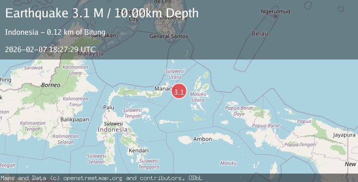
A 3.1 magnitude earthquake struck on Northern Molucca Sea, at Sat, 07 Feb 2026 18:27:29 GMT. Depth: 10km. Reviewed by BMKG seismologists, this minor quake occurred at a magnitude type of M.
Magnitude
3.1
M
Source
BMKG
Intensity
-
Agency Reports
1 Sources| Source | Magnitude | Depth | Time |
|---|---|---|---|
| BMKGPrimary | 3.1 | 10 km | 1 hour ago |
Earthquake Details
AutomaticEvent IDbmg2026crad
Tsunami PotentialNo
Magnitude TypeM
Nearest Places
- Kelurahan Tifure7.5 km
- Kelurahan Pantai Sagu7.6 km
- Pulau Tifore7.6 km
- Pulau Gureda9.3 km
- Maluku Sea48.1 km
Comments
Join the discussion about this event.
Latest Earthquakes
2.1Mag
ISLAND OF HAWAII, HAWAII
Time7 minutes ago
Depth18.10 km
SourceHV (Automatic)
2.7Mag
Flores Sea
Time12 minutes ago
Depth246.49 km
SourceBMKG (Automatic)
1.1Mag
EASTERN TURKEY
Time30 minutes ago
Depth7.00 km
SourceAFAD (Automatic)
3.3Mag
AZORES ISLANDS REGION
Time32 minutes ago
Depth5.00 km
SourcePDA (Automatic)
2.5Mag
Java, Indonesia
Time36 minutes ago
Depth28.48 km
SourceBMKG (Automatic)
Nearby Earthquakes
3.7Mag
Northern Molucca Sea
Time1 week ago
Depth60.98 km
SourceBMKG (Automatic)
3.6Mag
Northern Molucca Sea
Time1 week ago
Depth10.00 km
SourceBMKG (Automatic)
2.7Mag
MOLUCCA SEA
Time5 days ago
Depth28.00 km
SourceBMKG (Automatic)
4.2Mag
Northern Molucca Sea
Time6 days ago
Depth18.91 km
SourceBMKG (Automatic)
3.1Mag
Northern Molucca Sea
Time1 week ago
Depth14.98 km
SourceBMKG (Automatic)