Earthquake Talaud Islands, Indonesia
Sat, 07 Feb 2026 20:02:13 GMT
Time1 hour ago
Location
3.0149, 127.6542
Depth
4.0 KM
Event Summary
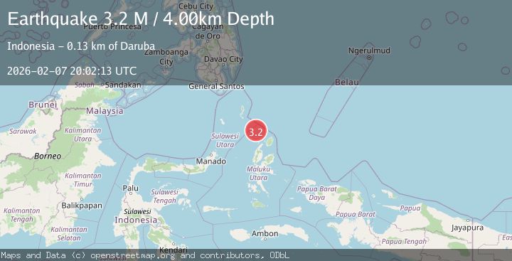
A 3.2 magnitude earthquake struck on Talaud Islands, Indonesia, at Sat, 07 Feb 2026 20:02:13 GMT. Depth: 3.997573km. Reviewed by BMKG seismologists, this minor quake occurred at a magnitude type of M.
Magnitude
3.2
M
Source
BMKG
Intensity
-
Agency Reports
1 Sources| Source | Magnitude | Depth | Time |
|---|---|---|---|
| BMKGPrimary | 3.2 | 4 km | 1 hour ago |
Earthquake Details
AutomaticEvent IDbmg2026crdh
Tsunami PotentialNo
Magnitude TypeM
Nearest Places
- Pulau Karis36.0 km
- Morotai Basin38.4 km
- Pulau Sedeng80.7 km
- Pulau Deherete83.0 km
- Pulau Takurumagula83.2 km
Comments
Join the discussion about this event.
Latest Earthquakes
2.0Mag
59 km WNW of Anchor Point, Alaska
Time15 minutes ago
Depth110.00 km
SourceUSGS (Automatic)
1.9Mag
10 km NW of Stockdale, Texas
Time19 minutes ago
Depth5.00 km
SourceUSGS (Automatic)
2.6Mag
South of Java, Indonesia
Time28 minutes ago
Depth10.00 km
SourceBMKG (Automatic)
2.0Mag
Flores Region, Indonesia
Time30 minutes ago
Depth21.31 km
SourceBMKG (Automatic)
1.7Mag
29 km SE of Mina, Nevada
Time31 minutes ago
Depth3.06 km
SourceUSGS (Automatic)
Nearby Earthquakes
3.4Mag
Northern Molucca Sea
Time2 days ago
Depth16.72 km
SourceBMKG (Automatic)
3.0Mag
Northern Molucca Sea
Time1 week ago
Depth100.85 km
SourceBMKG (Automatic)
4.1Mag
North of Halmahera, Indonesia
Time1 week ago
Depth5.50 km
SourceBMKG (Automatic)
3.3Mag
Northern Molucca Sea
Time1 week ago
Depth4.83 km
SourceBMKG (Automatic)
3.5Mag
Talaud Islands, Indonesia
Time1 week ago
Depth10.00 km
SourceBMKG (Automatic)