Earthquake Northern Sumatra, Indonesia
Sun, 08 Feb 2026 00:53:42 GMT
Time1 hour ago
Location
5.3206, 95.4457
Depth
8.2 KM
Event Summary
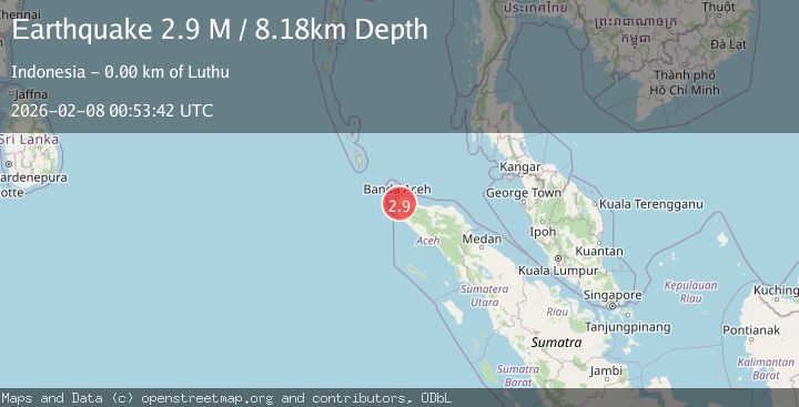
A 2.9 magnitude earthquake struck on Northern Sumatra, Indonesia, at Sun, 08 Feb 2026 00:53:42 GMT. Depth: 8.179697km. Reviewed by BMKG seismologists, this minor quake occurred at a magnitude type of M.
Magnitude
2.9
M
Source
BMKG
Intensity
-
Agency Reports
1 Sources| Source | Magnitude | Depth | Time |
|---|---|---|---|
| BMKGPrimary | 2.9 | 8 km | 1 hour ago |
Earthquake Details
AutomaticEvent IDbmg2026crmx
Tsunami PotentialNo
Magnitude TypeM
Nearest Places
- Cot Eumpung Tudong0.6 km
- Alue Kla0.7 km
- Cot Perahu1.5 km
- Cot Gohraya2.1 km
- Alue Paku3.0 km
Comments
Join the discussion about this event.
Latest Earthquakes
1.7Mag
23 km W of Cohoe, Alaska
Time15 minutes ago
Depth75.40 km
SourceUSGS (Automatic)
0.7Mag
NORTHERN ITALY
Time19 minutes ago
Depth6.40 km
SourceETHZ (Automatic)
0.5Mag
9 km ESE of Valle Vista, CA
Time23 minutes ago
Depth16.04 km
SourceUSGS (Automatic)
4.9Mag
NEAR EAST COAST OF HONSHU, JAPAN
Time27 minutes ago
Depth35.00 km
SourceNEIC (Automatic)
2.6Mag
SOUTHERN YUKON TERRITORY, CANADA
Time42 minutes ago
Depth5.00 km
SourceNEIC (Automatic)
Nearby Earthquakes
2.4Mag
Northern Sumatra, Indonesia
Time1 week ago
Depth7.88 km
SourceBMKG (Automatic)
3.4Mag
Northern Sumatra, Indonesia
Time1 week ago
Depth72.74 km
SourceBMKG (Automatic)
2.8Mag
Northern Sumatra, Indonesia
Time1 week ago
Depth10.00 km
SourceBMKG (Automatic)
2.1Mag
Northern Sumatra, Indonesia
Time1 week ago
Depth22.75 km
SourceBMKG (Automatic)
2.7Mag
Northern Sumatra, Indonesia
Time1 week ago
Depth4.82 km
SourceBMKG (Automatic)