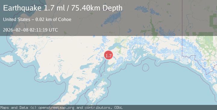
Earthquake 23 km W of Cohoe, Alaska
Sun, 08 Feb 2026 02:11:19 GMT
Time1 hour ago
Location
60.3870, -151.7320
Depth
75.4 KM
Event Summary
A 1.7 magnitude earthquake struck on 23 km W of Cohoe, Alaska, at Sun, 08 Feb 2026 02:11:19 GMT. Depth: 75.4km. Reviewed by USGS seismologists, this minor quake occurred at a magnitude type of ml.
Magnitude
1.7
ml
Source
USGS
Intensity
-
Agency Reports
1 Sources| Source | Magnitude | Depth | Time |
|---|---|---|---|
| USGSPrimary | 1.7 | 75 km | 1 hour ago |
Earthquake Details
AutomaticEvent IDusgs_ak2026crxypt
Tsunami PotentialNo
Magnitude Typeml
Nearest Places
- Packers Creek10.9 km
- Light Point12.0 km
- Kalgin Island Light12.3 km
- Swamp Creek13.7 km
- Kalgin Island State Critical Habitat Area13.9 km
Comments
Join the discussion about this event.
Latest Earthquakes
1.2Mag
5 km SSE of Parkfield, CA
Time4 minutes ago
Depth5.10 km
SourceUSGS (Automatic)
1.6Mag
36 km E of Denali National Park, Alaska
Time4 minutes ago
Depth0.40 km
SourceUSGS (Automatic)
3.2Mag
SOUTH CAROLINA
Time7 minutes ago
Depth10.00 km
SourceNEIC (Automatic)
0.7Mag
10 km WNW of Palomar Observatory, CA
Time16 minutes ago
Depth7.99 km
SourceUSGS (Automatic)
1.3Mag
22 km SW of Lamont, CA
Time19 minutes ago
Depth12.32 km
SourceUSGS (Automatic)
Nearby Earthquakes
1.2Mag
20 km W of Clam Gulch, Alaska
Time2 weeks ago
Depth61.80 km
SourceUSGS (Automatic)
1.9Mag
Southern Alaska
Time2 weeks ago
Depth82.60 km
SourceUSGS (Automatic)
2.4Mag
13 km W of Kenai, Alaska
Time3 days ago
Depth69.00 km
SourceUSGS (Automatic)
1.5Mag
27 km W of Salamatof, Alaska
Time2 days ago
Depth81.30 km
SourceUSGS
2.0Mag
4 km S of Kasilof, Alaska
Time1 week ago
Depth70.00 km
SourceUSGS (Automatic)