Earthquake Southern Sumatra, Indonesia
Sun, 08 Feb 2026 05:38:35 GMT
Time2 days ago
Location
-2.5953, 102.2015
Depth
124.4 KM
Event Summary
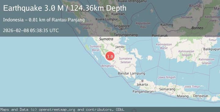
A 3.0 magnitude earthquake struck on Southern Sumatra, Indonesia, at Sun, 08 Feb 2026 05:38:35 GMT. Depth: 124.356056km. Reviewed by BMKG seismologists, this minor quake occurred at a magnitude type of M.
Magnitude
3.0
M
Source
BMKG
Intensity
-
Agency Reports
1 Sources| Source | Magnitude | Depth | Time |
|---|---|---|---|
| BMKGPrimary | 3.0 | 124 km | 2 days ago |
Earthquake Details
AutomaticEvent IDbmg2026crwh
Tsunami PotentialNo
Magnitude TypeM
Nearest Places
- Rantau Jankang1.1 km
- Bukit Papan2.1 km
- Desa Batin Pengambang2.5 km
- Sungai Keradak2.6 km
- Muara Talang2.6 km
Comments
Join the discussion about this event.
Latest Earthquakes
2.4Mag
southern Sumatra, Indonesia
Time3 hours ago
Depth0.00 km
SourceVYT (Automatic)
2.4Mag
Java, Indonesia
Time3 hours ago
Depth53.60 km
SourceBMKG
2.2Mag
Alaska Peninsula
Time3 hours ago
Depth27.95 km
SourceVYT (Automatic)
1.0Mag
Pyrenees
Time3 hours ago
Depth0.00 km
SourceVYT (Automatic)
1.9Mag
9 km NE of Pāhala, Hawaii
Time3 hours ago
Depth32.44 km
SourceUSGS (Automatic)
Nearby Earthquakes
2.4Mag
southern Sumatra, Indonesia
Time3 hours ago
Depth0.00 km
SourceVYT (Automatic)
2.7Mag
Southern Sumatra, Indonesia
Time2 weeks ago
Depth129.75 km
SourceBMKG (Automatic)
2.9Mag
Southern Sumatra, Indonesia
Time2 weeks ago
Depth14.34 km
SourceBMKG (Automatic)
2.9Mag
SOUTHERN SUMATRA, INDONESIA
Time3 days ago
Depth58.00 km
SourceBMKG (Automatic)
2.8Mag
Southern Sumatra, Indonesia
Time1 week ago
Depth39.99 km
SourceBMKG (Automatic)