Earthquake Northern Sumatra, Indonesia
Sun, 08 Feb 2026 22:08:14 GMT
Time3 hours ago
Location
0.1059, 99.0270
Depth
51.7 KM
Event Summary
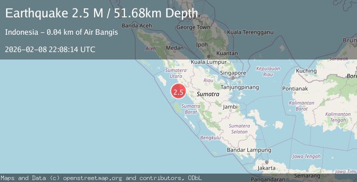
A 2.5 magnitude earthquake struck on Northern Sumatra, Indonesia, at Sun, 08 Feb 2026 22:08:14 GMT. Depth: 51.682041km. Reviewed by BMKG seismologists, this minor quake occurred at a magnitude type of M.
Magnitude
2.5
M
Source
BMKG
Intensity
-
Agency Reports
1 Sources| Source | Magnitude | Depth | Time |
|---|---|---|---|
| BMKGPrimary | 2.5 | 52 km | 3 hours ago |
Earthquake Details
AutomaticEvent IDbmg2026ctcy
Tsunami PotentialNo
Magnitude TypeM
Nearest Places
- Karang Ular8.5 km
- Gosong Ular8.7 km
- Karang Sambulaling10.2 km
- Pulau Sambulaling13.4 km
- Pulau Anso13.7 km
Comments
Join the discussion about this event.
Latest Earthquakes
2.2Mag
Sumbawa Region, Indonesia
Time3 hours ago
Depth12.67 km
SourceBMKG (Automatic)
3.5Mag
LA PAZ, BOLIVIA
Time3 hours ago
Depth158.40 km
SourceCSN (Automatic)
3.9Mag
HOKKAIDO, JAPAN REGION
Time3 hours ago
Depth50.00 km
SourceJMA (Automatic)
3.0Mag
ANTOFAGASTA, CHILE
Time3 hours ago
Depth131.90 km
SourceCSN (Automatic)
2.5Mag
SIKKIM, INDIA
Time3 hours ago
Depth10.00 km
SourceNDI (Automatic)
Nearby Earthquakes
2.5Mag
Southern Sumatra, Indonesia
Time4 days ago
Depth14.57 km
SourceBMKG (Automatic)
2.6Mag
Northern Sumatra, Indonesia
Time1 day ago
Depth4.12 km
SourceBMKG (Automatic)
3.6Mag
Northern Sumatra, Indonesia
Time5 days ago
Depth16.81 km
SourceBMKG (Automatic)
2.9Mag
Southern Sumatra, Indonesia
Time19 hours ago
Depth10.00 km
SourceBMKG (Automatic)
2.7Mag
Southern Sumatra, Indonesia
Time2 weeks ago
Depth22.17 km
SourceBMKG (Automatic)