Earthquake Southern Molucca Sea
Mon, 09 Feb 2026 17:02:35 GMT
Time2 hours ago
Location
-0.4567, 124.2325
Depth
13.5 KM
Event Summary
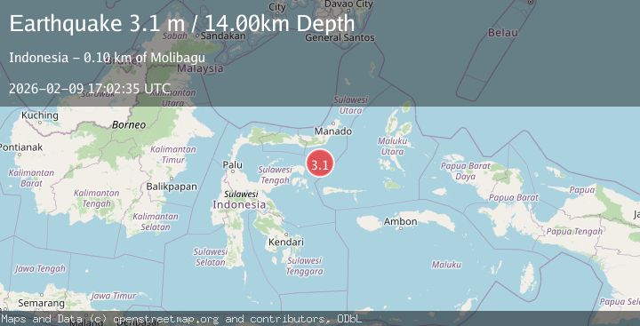
A 3.1 magnitude earthquake struck on Southern Molucca Sea, at Mon, 09 Feb 2026 17:02:35 GMT. Depth: 13.523889km. Reviewed by BMKG seismologists, this minor quake occurred at a magnitude type of M.
Magnitude
3.1
M
Source
BMKG
Intensity
-
Agency Reports
1 Sources| Source | Magnitude | Depth | Time |
|---|---|---|---|
| BMKGPrimary | 3.1 | 14 km | 2 hours ago |
Earthquake Details
AutomaticEvent IDbmg2026cuoj
Tsunami PotentialNo
Magnitude TypeM
Nearest Places
- Gorontalo Basin34.6 km
- Pulau Molosso59.1 km
- Pulau Pulutiga68.9 km
- Tanjung Ui92.1 km
- Tanjung Ui92.2 km
Comments
Join the discussion about this event.
Latest Earthquakes
3.0Mag
SAN JUAN, ARGENTINA
Time2 hours ago
Depth97.00 km
SourceNSNA (Automatic)
1.6Mag
17 km WSW of Rotan, Texas
Time2 hours ago
Depth3.47 km
SourceUSGS (Automatic)
1.0Mag
17 km W of Searles Valley, CA
Time2 hours ago
Depth7.36 km
SourceUSGS (Automatic)
3.2Mag
WESTERN TURKEY
Time3 hours ago
Depth9.50 km
SourceKOERI (Automatic)
3.1Mag
LUZON, PHILIPPINES
Time3 hours ago
Depth10.00 km
SourcePIVS (Automatic)
Nearby Earthquakes
4.2Mag
Southern Molucca Sea
Time1 day ago
Depth70.38 km
SourceBMKG (Automatic)
4.5Mag
Southern Molucca Sea
Time4 days ago
Depth8.83 km
SourceBMKG (Automatic)
2.8Mag
Southern Molucca Sea
Time1 week ago
Depth102.12 km
SourceBMKG (Automatic)
4.3Mag
Southern Molucca Sea
Time2 weeks ago
Depth11.97 km
SourceBMKG (Automatic)
5.1Mag
Southern Molucca Sea
Time1 week ago
Depth10.00 km
SourceBMKG (Automatic)