Earthquake Northern Molucca Sea
Mon, 09 Feb 2026 18:47:17 GMT
Time1 hour ago
Location
1.7133, 126.5703
Depth
36.5 KM
Event Summary
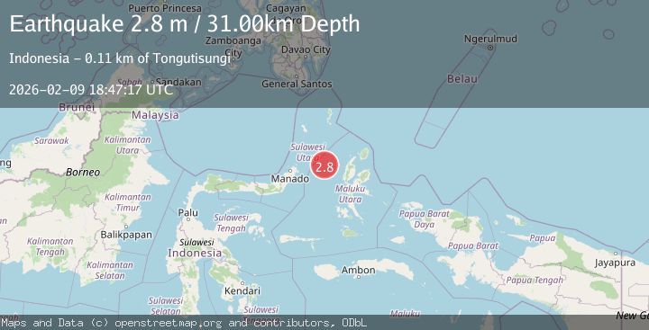
A 2.8 magnitude earthquake struck on Northern Molucca Sea, at Mon, 09 Feb 2026 18:47:17 GMT. Depth: 36.538784km. Reviewed by BMKG seismologists, this minor quake occurred at a magnitude type of M.
Magnitude
2.8
M
Source
BMKG
Intensity
-
Agency Reports
1 Sources| Source | Magnitude | Depth | Time |
|---|---|---|---|
| BMKGPrimary | 2.8 | 37 km | 1 hour ago |
Earthquake Details
AutomaticEvent IDbmg2026curu
Tsunami PotentialNo
Magnitude TypeM
Nearest Places
- Kelurahan Bido46.6 km
- Kelurahan Mayau47.3 km
- Pulau Mayu47.7 km
- Kecamatan Pulau Batang Dua47.9 km
- Kelurahan Perum Bersatu49.0 km
Comments
Join the discussion about this event.
Latest Earthquakes
2.2Mag
Northern Sumatra, Indonesia
Time1 hour ago
Depth50.86 km
SourceBMKG (Automatic)
1.4Mag
11 km W of Susitna, Alaska
Time1 hour ago
Depth53.80 km
SourceUSGS (Automatic)
2.1Mag
Sulawesi, Indonesia
Time1 hour ago
Depth5.00 km
SourceBMKG (Automatic)
2.6Mag
SAN JUAN, ARGENTINA
Time1 hour ago
Depth106.00 km
SourceNSNA (Automatic)
2.1Mag
OKLAHOMA
Time1 hour ago
Depth3.60 km
SourceOK (Automatic)
Nearby Earthquakes
2.6Mag
Northern Molucca Sea
Time4 hours ago
Depth10.59 km
SourceBMKG (Automatic)
3.2Mag
Northern Molucca Sea
Time1 week ago
Depth42.68 km
SourceBMKG (Automatic)
2.9Mag
Northern Molucca Sea
Time1 week ago
Depth24.83 km
SourceBMKG (Automatic)
2.6Mag
Northern Molucca Sea
Time6 days ago
Depth29.83 km
SourceBMKG (Automatic)
3.0Mag
Northern Molucca Sea
Time1 day ago
Depth28.83 km
SourceBMKG (Automatic)