Earthquake West Papua, Indonesia
Tue, 10 Feb 2026 04:26:51 GMT
Time3 hours ago
Location
-4.4894, 139.5019
Depth
10.0 KM
Event Summary
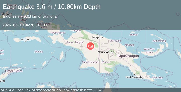
A 3.6 magnitude earthquake struck on West Papua, Indonesia, at Tue, 10 Feb 2026 04:26:51 GMT. Depth: 10km. Reviewed by BMKG seismologists, this minor quake occurred at a magnitude type of M.
Magnitude
3.6
M
Source
BMKG
Intensity
-
Agency Reports
1 Sources| Source | Magnitude | Depth | Time |
|---|---|---|---|
| BMKGPrimary | 3.6 | 10 km | 3 hours ago |
Earthquake Details
ManualEvent IDbmg2026cvky
Tsunami PotentialNo
Magnitude TypeM
Nearest Places
- Pegunungan Jayawijaya1.2 km
- Kampung Dinggila2.4 km
- Kampung Denema2.4 km
- Distrik Lolat3.0 km
- Kampung Bunde5.4 km
Comments
Join the discussion about this event.
Latest Earthquakes
1.0Mag
9 km SW of Avenal, CA
Time2 hours ago
Depth3.61 km
SourceUSGS (Automatic)
2.0Mag
25 km SW of Petersville, Alaska
Time2 hours ago
Depth79.70 km
SourceUSGS (Automatic)
3.6Mag
South of Java, Indonesia
Time2 hours ago
Depth5.00 km
SourceBMKG
2.8Mag
Minahassa Peninsula, Sulawesi
Time2 hours ago
Depth131.14 km
SourceBMKG
2.6Mag
COSTA RICA
Time2 hours ago
Depth10.00 km
SourceINET (Automatic)
Nearby Earthquakes
3.6Mag
West Papua, Indonesia
Time1 day ago
Depth10.00 km
SourceBMKG (Automatic)
4.0Mag
West Papua, Indonesia
Time2 weeks ago
Depth10.00 km
SourceBMKG (Automatic)
4.1Mag
West Papua, Indonesia
Time1 week ago
Depth138.53 km
SourceBMKG (Automatic)
3.4Mag
West Papua, Indonesia
Time1 week ago
Depth10.00 km
SourceBMKG (Automatic)
2.6Mag
West Papua, Indonesia
Time2 weeks ago
Depth61.18 km
SourceBMKG (Automatic)