Earthquake Minahassa Peninsula, Sulawesi
Fri, 06 Feb 2026 13:44:24 GMT
Time1 hour ago
Location
0.4379, 124.8598
Depth
10.0 KM
Event Summary
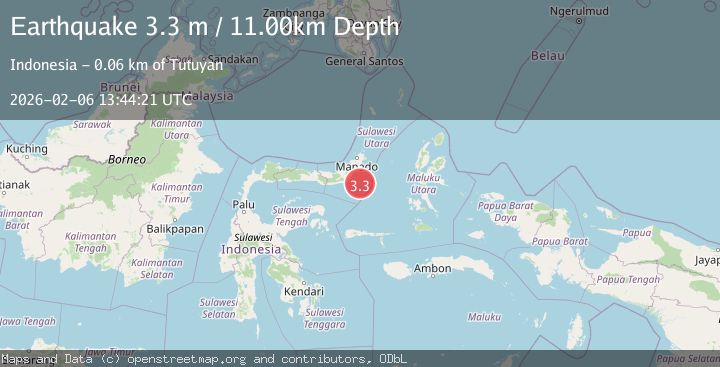
A 3.3 magnitude earthquake struck on Minahassa Peninsula, Sulawesi, at Fri, 06 Feb 2026 13:44:24 GMT. Depth: 10km. Reviewed by BMKG seismologists, this minor quake occurred at a magnitude type of M.
Magnitude
3.3
M
Source
BMKG
Intensity
-
Agency Reports
1 Sources| Source | Magnitude | Depth | Time |
|---|---|---|---|
| BMKGPrimary | 3.3 | 11 km | 1 hour ago |
Earthquake Details
AutomaticEvent IDbmg2026covh
Tsunami PotentialNo
Magnitude TypeM
Nearest Places
- Pulau Laga Kecil35.9 km
- Libuton Laga36.0 km
- Impoda Laga36.1 km
- Batu Mandi37.5 km
- Luok Nuangan38.3 km
Comments
Join the discussion about this event.
Latest Earthquakes
1.5Mag
52 km NW of Ninilchik, Alaska
Time11 minutes ago
Depth84.50 km
SourceUSGS (Automatic)
2.4Mag
Seram, Indonesia
Time22 minutes ago
Depth6.27 km
SourceBMKG (Automatic)
2.0Mag
STRAIT OF GIBRALTAR
Time24 minutes ago
Depth10.70 km
SourceIGN (Automatic)
2.5Mag
Sunda Strait, Indonesia
Time30 minutes ago
Depth2.88 km
SourceBMKG (Automatic)
1.4Mag
15 km WSW of Manley Hot Springs, Alaska
Time34 minutes ago
Depth5.90 km
SourceUSGS (Automatic)
Nearby Earthquakes
3.5Mag
Northern Molucca Sea
Time4 days ago
Depth16.12 km
SourceBMKG (Automatic)
2.9Mag
MINAHASA, SULAWESI, INDONESIA
Time1 week ago
Depth18.00 km
SourceBMKG (Automatic)
3.4Mag
Northern Molucca Sea
Time2 weeks ago
Depth11.41 km
SourceBMKG (Automatic)
2.7Mag
Southern Molucca Sea
Time3 days ago
Depth9.00 km
SourceBMKG (Automatic)
3.6Mag
Northern Molucca Sea
Time1 day ago
Depth6.50 km
SourceBMKG (Automatic)