Earthquake West Papua Region, Indonesia
Wed, 11 Feb 2026 01:37:36 GMT
Time1 week ago
Location
-0.6245, 134.3191
Depth
31.1 KM
Event Summary
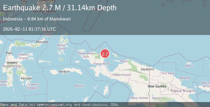
A 2.7 magnitude earthquake struck on West Papua Region, Indonesia, at Wed, 11 Feb 2026 01:37:36 GMT. Depth: 31.13748km. Reviewed by BMKG seismologists, this minor quake occurred at a magnitude type of M.
Magnitude
2.7
M
Source
BMKG
Intensity
-
Agency Reports
1 Sources| Source | Magnitude | Depth | Time |
|---|---|---|---|
| BMKGPrimary | 2.7 | 31 km | 1 week ago |
Earthquake Details
ManualEvent IDbmg2026cxaw
Tsunami PotentialNo
Magnitude TypeM
Nearest Places
- Kampung Bakaro34.0 km
- Kampung Aipiri34.2 km
- Tanjung Memori34.2 km
- Kampung Susweni34.8 km
- Aipiri Canyons34.9 km
Comments
Join the discussion about this event.
Latest Earthquakes
2.4Mag
Northern Sumatra, Indonesia
Time19 hours ago
Depth3.00 km
SourceBMKG
2.7Mag
SAN JUAN, ARGENTINA
Time20 hours ago
Depth96.00 km
SourceNSNA (Automatic)
3.9Mag
near the north coast of Papua, Indonesia
Time20 hours ago
Depth43.09 km
SourceVYT (Automatic)
2.2Mag
Antofagasta, Chile
Time20 hours ago
Depth125.73 km
SourceVYT (Automatic)
2.1Mag
Sumbawa Region, Indonesia
Time20 hours ago
Depth18.83 km
SourceBMKG
Nearby Earthquakes
5.5Mag
NEAR N COAST OF PAPUA, INDONESIA
Time11 years ago
Depth10.00 km
SourceEMSC (Automatic)
2.1Mag
West Papua Region, Indonesia
Time3 days ago
Depth16.76 km
SourceBMKG
2.7Mag
NEAR N COAST OF PAPUA, INDONESIA
Time1 month ago
Depth10.00 km
SourceBMKG (Automatic)
3.0Mag
NEAR N COAST OF PAPUA, INDONESIA
Time5 years ago
Depth30.00 km
SourceDJA (Automatic)
4.0Mag
NEAR N COAST OF PAPUA, INDONESIA
Time4 years ago
Depth92.00 km
SourceDJA (Automatic)