Earthquake Near North Coast of West Papua
Wed, 11 Feb 2026 06:29:31 GMT
Time1 week ago
Location
-2.8416, 139.2190
Depth
47.8 KM
Event Summary
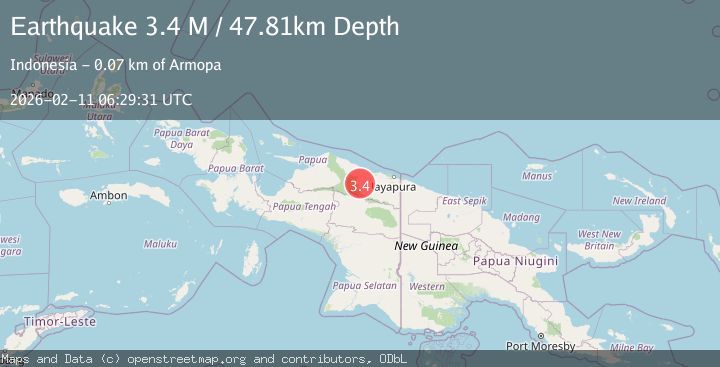
A 3.4 magnitude earthquake struck on Near North Coast of West Papua, at Wed, 11 Feb 2026 06:29:31 GMT. Depth: 47.811016km. Reviewed by BMKG seismologists, this minor quake occurred at a magnitude type of M.
Magnitude
3.4
M
Source
BMKG
Intensity
-
Agency Reports
1 Sources| Source | Magnitude | Depth | Time |
|---|---|---|---|
| BMKGPrimary | 3.4 | 48 km | 1 week ago |
Earthquake Details
ManualEvent IDbmg2026cxkm
Tsunami PotentialNo
Magnitude TypeM
Nearest Places
- Distrik Pantai Timur3.9 km
- Kampung Betaf Dua9.3 km
- Kampung Sunum12.0 km
- Kampung Komra18.9 km
- Kampung Krim Podena19.7 km
Comments
Join the discussion about this event.
Latest Earthquakes
2.6Mag
Java, Indonesia
Time11 minutes ago
Depth214.22 km
SourceBMKG
1.0Mag
Southeastern Alaska
Time12 minutes ago
Depth0.00 km
SourceVYT (Automatic)
3.5Mag
COOK STRAIT, NEW ZEALAND
Time13 minutes ago
Depth75.30 km
SourceGNS (Automatic)
2.5Mag
Seram, Indonesia
Time14 minutes ago
Depth21.28 km
SourceBMKG
2.6Mag
West Papua Region, Indonesia
Time17 minutes ago
Depth17.35 km
SourceBMKG
Nearby Earthquakes
5.4Mag
NEAR N COAST OF PAPUA, INDONESIA
Time5 years ago
Depth25.00 km
SourceEMSC (Automatic)
3.0Mag
NEAR N COAST OF PAPUA, INDONESIA
Time5 years ago
Depth14.00 km
SourceDJA (Automatic)
5.4Mag
NEAR N COAST OF PAPUA, INDONESIA
Time7 years ago
Depth60.00 km
SourceEMSC (Automatic)
2.2Mag
Near North Coast of West Papua
Time2 weeks ago
Depth76.71 km
SourceBMKG (Automatic)
6.0Mag
NEAR N COAST OF PAPUA, INDONESIA
Time6 years ago
Depth48.00 km
SourceEMSC (Automatic)