Earthquake North of Halmahera, Indonesia
Fri, 13 Feb 2026 10:03:51 GMT
Time5 days ago
Location
4.0993, 128.2425
Depth
30.8 KM
Event Summary
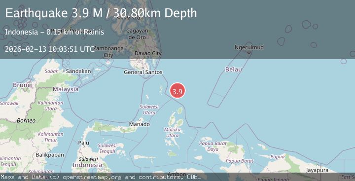
A 3.9 magnitude earthquake struck on North of Halmahera, Indonesia, at Fri, 13 Feb 2026 10:03:51 GMT. Depth: 30.796831km. Reviewed by BMKG seismologists, this minor quake occurred at a magnitude type of M.
Magnitude
3.9
M
Source
BMKG
Intensity
-
Agency Reports
1 Sources| Source | Magnitude | Depth | Time |
|---|---|---|---|
| BMKGPrimary | 3.9 | 31 km | 5 days ago |
Earthquake Details
ManualEvent IDbmg2026dbio
Tsunami PotentialNo
Magnitude TypeM
Nearest Places
- Snellius Ridge29.1 km
- Talaud Trough92.3 km
- Pulau Karis121.2 km
- Morotai Basin125.2 km
- Pulau Kakorotan133.6 km
Comments
Join the discussion about this event.
Latest Earthquakes
1.3Mag
10 km WNW of Salcha, Alaska
Time17 hours ago
Depth5.00 km
SourceUSGS (Automatic)
1.3Mag
34 km WSW of Ackerly, Texas
Time17 hours ago
Depth3.87 km
SourceUSGS (Automatic)
1.2Mag
8 km SW of Morongo Valley, CA
Time17 hours ago
Depth15.22 km
SourceUSGS (Automatic)
2.4Mag
Northern Sumatra, Indonesia
Time17 hours ago
Depth7.72 km
SourceBMKG
2.3Mag
Tarapaca, Chile
Time17 hours ago
Depth61.65 km
SourceVYT (Automatic)
Nearby Earthquakes
4.7Mag
North of Halmahera, Indonesia
Time5 days ago
Depth10.00 km
SourceBMKG
3.9Mag
North of Halmahera, Indonesia
Time4 days ago
Depth10.00 km
SourceBMKG
6.0Mag
NORTH OF HALMAHERA, INDONESIA
Time4 years ago
Depth160.00 km
SourceEMSC (Automatic)
4.9Mag
north of Halmahera, Indonesia
Time3 days ago
Depth10.00 km
SourceVYT (Automatic)
4.0Mag
North of Halmahera, Indonesia
Time3 days ago
Depth109.56 km
SourceBMKG