Earthquake North of Halmahera, Indonesia
Fri, 13 Feb 2026 16:57:07 GMT
Time4 days ago
Location
4.1678, 128.2768
Depth
10.0 KM
Event Summary
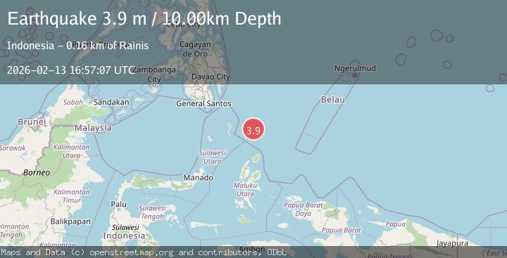
A 3.9 magnitude earthquake struck on North of Halmahera, Indonesia, at Fri, 13 Feb 2026 16:57:07 GMT. Depth: 10km. Reviewed by BMKG seismologists, this minor quake occurred at a magnitude type of M.
Magnitude
3.9
M
Source
BMKG
Intensity
-
Agency Reports
1 Sources| Source | Magnitude | Depth | Time |
|---|---|---|---|
| BMKGPrimary | 3.9 | 10 km | 4 days ago |
Earthquake Details
ManualEvent IDbmg2026dbwe
Tsunami PotentialNo
Magnitude TypeM
Nearest Places
- Snellius Ridge35.9 km
- Talaud Trough97.2 km
- Pulau Karis129.4 km
- Morotai Basin133.4 km
- Pulau Kakorotan134.0 km
Comments
Join the discussion about this event.
Latest Earthquakes
3.1Mag
northern Norway
Time6 hours ago
Depth707.40 km
SourceVYT (Automatic)
2.4Mag
Albania
Time6 hours ago
Depth14.77 km
SourceVYT (Automatic)
2.7Mag
Southern Sumatra, Indonesia
Time6 hours ago
Depth2.84 km
SourceBMKG
1.5Mag
97 km WNW of Yakutat, Alaska
Time6 hours ago
Depth5.40 km
SourceUSGS (Automatic)
3.3Mag
Minahasa, Sulawesi, Indonesia
Time6 hours ago
Depth6.47 km
SourceVYT (Automatic)
Nearby Earthquakes
4.7Mag
North of Halmahera, Indonesia
Time5 days ago
Depth10.00 km
SourceBMKG
4.7Mag
North of Halmahera, Indonesia
Time4 days ago
Depth47.15 km
SourceBMKG
4.0Mag
North of Halmahera, Indonesia
Time3 days ago
Depth109.56 km
SourceBMKG
4.6Mag
North of Halmahera, Indonesia
Time4 days ago
Depth21.15 km
SourceBMKG
3.9Mag
North of Halmahera, Indonesia
Time5 days ago
Depth30.80 km
SourceBMKG