Earthquake Timor Region
Sun, 15 Feb 2026 13:58:50 GMT
Time4 days ago
Location
-8.5585, 124.3909
Depth
0.9 KM
Event Summary
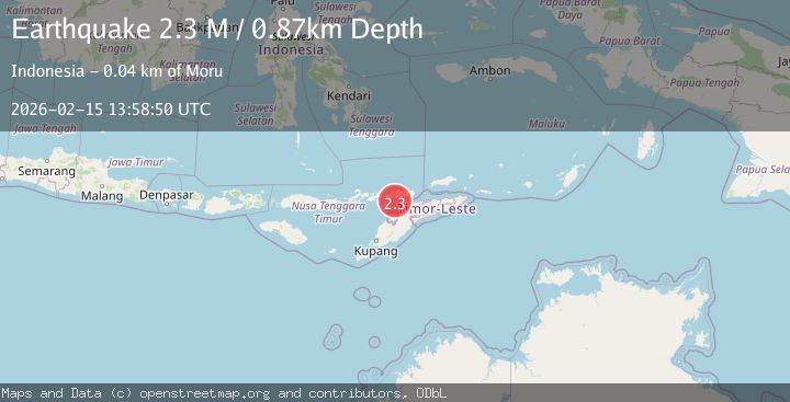
A 2.3 magnitude earthquake struck on Timor Region, at Sun, 15 Feb 2026 13:58:50 GMT. Depth: 0.868454km. Reviewed by BMKG seismologists, this minor quake occurred at a magnitude type of M.
Magnitude
2.3
M
Source
BMKG
Intensity
-
Agency Reports
1 Sources| Source | Magnitude | Depth | Time |
|---|---|---|---|
| BMKGPrimary | 2.3 | 1 km | 4 days ago |
Earthquake Details
ManualEvent IDbmg2026dfhi
Tsunami PotentialNo
Magnitude TypeM
Nearest Places
- Tanjung Margeta11.4 km
- Teluk Halerman13.0 km
- Tanjung Nafiri13.3 km
- Worgawa13.4 km
- Tronter13.7 km
Comments
Join the discussion about this event.
Latest Earthquakes
1.2Mag
EASTERN TURKEY
Time15 minutes ago
Depth7.00 km
SourceAFAD (Automatic)
1.7Mag
western Texas
Time16 minutes ago
Depth0.00 km
SourceVYT (Automatic)
2.2Mag
AEGEAN SEA
Time16 minutes ago
Depth16.50 km
SourceKOERI (Automatic)
1.8Mag
western Texas
Time23 minutes ago
Depth0.00 km
SourceVYT (Automatic)
2.9Mag
SVALBARD REGION
Time24 minutes ago
Depth10.00 km
SourceBER (Automatic)
Nearby Earthquakes
3.4Mag
Timor region, Indonesia
Time1 week ago
Depth312.13 km
SourceVYT (Automatic)
3.0Mag
KEPULAUAN ALOR, INDONESIA
Time3 years ago
Depth18.00 km
SourceDJA (Automatic)
2.1Mag
Timor Region
Time1 week ago
Depth94.29 km
SourceBMKG (Automatic)
2.7Mag
Timor Region
Time1 week ago
Depth188.85 km
SourceBMKG
3.5Mag
Timor Region
Time1 week ago
Depth195.15 km
SourceBMKG (Automatic)