Earthquake Near North Coast of West Papua
Thu, 19 Feb 2026 13:36:55 GMT
Time1 hour ago
Location
-1.8648, 139.7353
Depth
10.0 KM
Event Summary
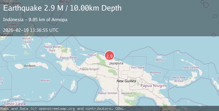
A 2.9 magnitude earthquake struck on Near North Coast of West Papua, at Thu, 19 Feb 2026 13:36:55 GMT. Depth: 10km. Reviewed by BMKG seismologists, this minor quake occurred at a magnitude type of M.
Magnitude
2.9
M
Source
BMKG
Intensity
-
Agency Reports
1 Sources| Source | Magnitude | Depth | Time |
|---|---|---|---|
| BMKGPrimary | 2.9 | 10 km | 1 hour ago |
Earthquake Details
ManualEvent IDbmg2026dmoq
Tsunami PotentialNo
Magnitude TypeM
Nearest Places
- Pulau Anus38.8 km
- Pulau Yarsun40.4 km
- Kepulauan Podena41.4 km
- Pulau Podena41.5 km
- Pulau Mengge42.2 km
Comments
Join the discussion about this event.
Latest Earthquakes
2.5Mag
northwestern Russia
Time1 hour ago
Depth0.00 km
SourceVYT (Automatic)
3.8Mag
south of Alaska
Time1 hour ago
Depth10.00 km
SourceVYT (Automatic)
2.8Mag
south of Alaska
Time1 hour ago
Depth18.92 km
SourceVYT (Automatic)
0.6Mag
Southern Alaska
Time1 hour ago
Depth0.00 km
SourceVYT (Automatic)
3.2Mag
Northern Molucca Sea
Time1 hour ago
Depth78.57 km
SourceBMKG
Nearby Earthquakes
5.6Mag
NEAR N COAST OF PAPUA, INDONESIA
Time7 years ago
Depth20.00 km
SourceEMSC (Automatic)
3.3Mag
NEAR N COAST OF PAPUA, INDONESIA
Time1 week ago
Depth6.00 km
SourceBMKG (Automatic)
3.0Mag
NEAR N COAST OF PAPUA, INDONESIA
Time1 month ago
Depth13.00 km
SourceBMKG (Automatic)
2.8Mag
NEAR N COAST OF PAPUA, INDONESIA
Time1 month ago
Depth10.00 km
SourceBMKG (Automatic)
2.5Mag
Near North Coast of West Papua
Time3 weeks ago
Depth10.00 km
SourceBMKG (Automatic)