Earthquake Near North Coast of West Papua
Wed, 25 Feb 2026 15:02:30 GMT
Time2 hours ago
Location
-2.2973, 140.2220
Depth
19.6 KM
Event Summary
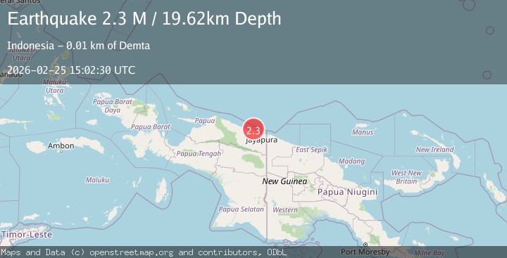
A 2.3 magnitude earthquake struck on Near North Coast of West Papua, at Wed, 25 Feb 2026 15:02:30 GMT. Depth: 19.617405km. Reviewed by BMKG seismologists, this minor quake occurred at a magnitude type of M.
Magnitude
2.3
M
Source
BMKG
Intensity
-
Agency Reports
1 Sources| Source | Magnitude | Depth | Time |
|---|---|---|---|
| BMKGPrimary | 2.3 | 20 km | 2 hours ago |
Earthquake Details
ManualEvent IDbmg2026dxql
Tsunami PotentialNo
Magnitude TypeM
Nearest Places
- 6.3 km
- 8.5 km
- 8.9 km
- 9.0 km
- 9.3 km
Comments
Join the discussion about this event.
Latest Earthquakes
2.2Mag
Fox Islands, Aleutian Islands, Alaska
Time2 hours ago
Depth0.12 km
SourceVYT (Automatic)
1.9Mag
Kenai Peninsula, Alaska
Time2 hours ago
Depth15.14 km
SourceVYT (Automatic)
0.9Mag
9 km WNW of Cobb, CA
Time2 hours ago
Depth0.02 km
SourceUSGS (Automatic)
2.1Mag
CENTRAL CALIFORNIA
Time2 hours ago
Depth0.80 km
SourceNN (Automatic)
2.3Mag
Tarapaca, Chile
Time2 hours ago
Depth0.00 km
SourceVYT (Automatic)
Nearby Earthquakes
2.3Mag
Near North Coast of West Papua
Time1 day ago
Depth10.00 km
SourceBMKG
2.6Mag
Near North Coast of West Papua
Time2 weeks ago
Depth10.00 km
SourceBMKG
2.4Mag
Near North Coast of West Papua
Time1 month ago
Depth18.12 km
SourceBMKG (Automatic)
2.2Mag
Near North Coast of West Papua
Time0 months ago
Depth4.12 km
SourceBMKG (Automatic)
3.1Mag
Near North Coast of West Papua
Time2 weeks ago
Depth10.00 km
SourceBMKG (Automatic)