Earthquake Near North Coast of West Papua
Fri, 27 Feb 2026 23:34:09 GMT
Time1 hour ago
Location
-2.2798, 140.1265
Depth
13.3 KM
Event Summary
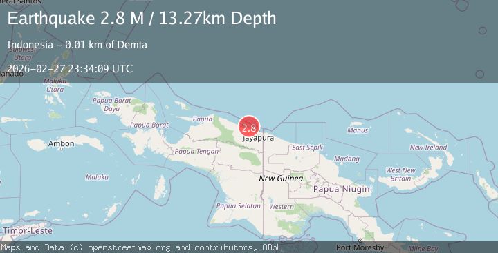
A 2.8 magnitude earthquake struck on Near North Coast of West Papua, at Fri, 27 Feb 2026 23:34:09 GMT. Depth: 13.274073km. Reviewed by BMKG seismologists, this minor quake occurred at a magnitude type of M.
Magnitude
2.8
M
Source
BMKG
Intensity
-
Agency Reports
1 Sources| Source | Magnitude | Depth | Time |
|---|---|---|---|
| BMKGPrimary | 2.8 | 13 km | 1 hour ago |
Earthquake Details
ManualEvent IDbmg2026ebyi
Tsunami PotentialNo
Magnitude TypeM
Nearest Places
- 3.7 km
- 4.7 km
- 5.2 km
- 5.7 km
- 6.5 km
Comments
Join the discussion about this event.
Latest Earthquakes
2.9Mag
Antofagasta, Chile
Time1 hour ago
Depth163.94 km
SourceVYT (Automatic)
3.0Mag
Southern Alaska
Time1 hour ago
Depth61.04 km
SourceVYT (Automatic)
1.8Mag
8 km SSE of Pāhala, Hawaii
Time1 hour ago
Depth38.75 km
SourceUSGS (Automatic)
3.4Mag
Azerbaijan
Time1 hour ago
Depth12.57 km
SourceVYT (Automatic)
4.3Mag
offshore Coquimbo, Chile
Time1 hour ago
Depth0.00 km
SourceVYT (Automatic)
Nearby Earthquakes
3.2Mag
Near North Coast of West Papua
Time0 months ago
Depth10.00 km
SourceBMKG (Automatic)
2.8Mag
Near North Coast of West Papua
Time2 weeks ago
Depth10.00 km
SourceBMKG
2.7Mag
Near North Coast of West Papua
Time5 days ago
Depth17.60 km
SourceBMKG
2.2Mag
Near North Coast of West Papua
Time3 weeks ago
Depth10.00 km
SourceBMKG (Automatic)
2.5Mag
Near North Coast of West Papua
Time4 days ago
Depth10.00 km
SourceBMKG