Earthquake Northern Sumatra, Indonesia
Mon, 02 Mar 2026 07:35:23 GMT
Time3 hours ago
Location
0.0440, 99.9707
Depth
26.3 KM
Event Summary
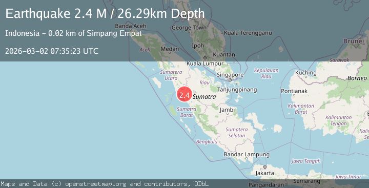
A 2.4 magnitude earthquake struck on Northern Sumatra, Indonesia, at Mon, 02 Mar 2026 07:35:23 GMT. Depth: 26.285662km. Reviewed by BMKG seismologists, this minor quake occurred at a magnitude type of M.
Magnitude
2.4
M
Source
BMKG
Intensity
-
Agency Reports
1 Sources| Source | Magnitude | Depth | Time |
|---|---|---|---|
| BMKGPrimary | 2.4 | 26 km | 3 hours ago |
Earthquake Details
ManualEvent IDbmg2026egff
Tsunami PotentialNo
Magnitude TypeM
Nearest Places
- 2.7 km
- 4.2 km
- 7.0 km
- 7.5 km
- 8.0 km
Comments
Join the discussion about this event.
Latest Earthquakes
2.5Mag
northwestern Russia
Time3 hours ago
Depth0.00 km
SourceVYT (Automatic)
1.8Mag
4 km ESE of San Ramon, CA
Time3 hours ago
Depth4.90 km
SourceUSGS (Automatic)
2.6Mag
Sulawesi, Indonesia
Time3 hours ago
Depth0.80 km
SourceBMKG
2.0Mag
Libertador General Bernardo O'Higgins, Chile
Time3 hours ago
Depth101.93 km
SourceVYT (Automatic)
3.2Mag
Sulawesi, Indonesia
Time3 hours ago
Depth11.84 km
SourceVYT (Automatic)
Nearby Earthquakes
2.5Mag
NORTHERN SUMATRA, INDONESIA
Time1 month ago
Depth24.00 km
SourceBMKG (Automatic)
2.5Mag
NORTHERN SUMATRA, INDONESIA
Time1 month ago
Depth8.00 km
SourceBMKG (Automatic)
2.7Mag
Northern Sumatra, Indonesia
Time1 month ago
Depth14.71 km
SourceBMKG (Automatic)
2.4Mag
Northern Sumatra, Indonesia
Time1 week ago
Depth12.76 km
SourceBMKG
2.4Mag
Northern Sumatra, Indonesia
Time3 weeks ago
Depth9.60 km
SourceBMKG (Automatic)