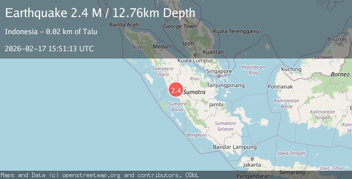
Earthquake Northern Sumatra, Indonesia
Tue, 17 Feb 2026 15:51:13 GMT
Time17 hours ago
Location
0.0605, 100.0099
Depth
11.7 KM
Event Summary
A 2.3 magnitude earthquake struck on Northern Sumatra, Indonesia, at Tue, 17 Feb 2026 15:51:13 GMT. Depth: 11.748619km. Reviewed by BMKG seismologists, this minor quake occurred at a magnitude type of M.
Magnitude
2.3
M
Source
BMKG
Intensity
-
Agency Reports
1 Sources| Source | Magnitude | Depth | Time |
|---|---|---|---|
| BMKGPrimary | 2.3 | 12 km | 17 hours ago |
Earthquake Details
ManualEvent IDbmg2026djcb
Tsunami PotentialNo
Magnitude TypeM
Nearest Places
- Gunung Ophir3.5 km
- Pamatanggugung4.1 km
- Bukitmalintang4.4 km
- Gunggung4.5 km
- Pematangaur4.7 km
Comments
Join the discussion about this event.
Latest Earthquakes
1.2Mag
10 km NW of The Geysers, CA
Time17 hours ago
Depth1.41 km
SourceUSGS (Automatic)
1.0Mag
Southern Alaska
Time17 hours ago
Depth14.53 km
SourceVYT (Automatic)
3.5Mag
Kepulauan Mentawai region, Indonesia
Time17 hours ago
Depth29.42 km
SourceVYT (Automatic)
0.8Mag
30 km ESE of Lake Isabella, CA
Time17 hours ago
Depth6.21 km
SourceUSGS (Automatic)
2.5Mag
Java, Indonesia
Time17 hours ago
Depth96.69 km
SourceBMKG
Nearby Earthquakes
2.4Mag
Northern Sumatra, Indonesia
Time2 weeks ago
Depth9.60 km
SourceBMKG (Automatic)
2.5Mag
NORTHERN SUMATRA, INDONESIA
Time3 weeks ago
Depth8.00 km
SourceBMKG (Automatic)
2.5Mag
NORTHERN SUMATRA, INDONESIA
Time1 month ago
Depth24.00 km
SourceBMKG (Automatic)
5.1Mag
NORTHERN SUMATRA, INDONESIA
Time9 years ago
Depth10.00 km
SourceEMSC (Automatic)
2.7Mag
Northern Sumatra, Indonesia
Time2 weeks ago
Depth14.71 km
SourceBMKG (Automatic)