Earthquake Northern Sumatra, Indonesia
Wed, 04 Feb 2026 15:17:21 GMT
Time1 hour ago
Location
1.8223, 99.5305
Depth
24.3 KM
Event Summary
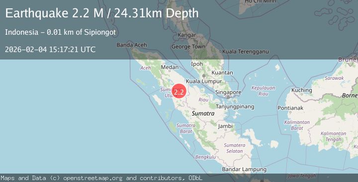
A 2.2 magnitude earthquake struck on Northern Sumatra, Indonesia, at Wed, 04 Feb 2026 15:17:21 GMT. Depth: 24.314697km. Reviewed by BMKG seismologists, this minor quake occurred at a magnitude type of M.
Magnitude
2.2
M
Source
BMKG
Intensity
-
Agency Reports
1 Sources| Source | Magnitude | Depth | Time |
|---|---|---|---|
| BMKGPrimary | 2.2 | 24 km | 1 hour ago |
Earthquake Details
AutomaticEvent IDbmg2026clhj
Tsunami PotentialNo
Magnitude TypeM
Nearest Places
- Dolok Hanombu2.3 km
- Desa Sunge Sigiring-Giring2.6 km
- Sigiring Giring2.9 km
- Hutatonga3.0 km
- Sungaipinang3.0 km
Comments
Join the discussion about this event.
Latest Earthquakes
1.4Mag
9 km E of Alum Rock, CA
Time1 hour ago
Depth-0.45 km
SourceUSGS (Automatic)
2.4Mag
Java, Indonesia
Time2 hours ago
Depth51.87 km
SourceBMKG (Automatic)
2.1Mag
Southern Sumatra, Indonesia
Time2 hours ago
Depth3.99 km
SourceBMKG (Automatic)
2.1Mag
Near North Coast of West Papua
Time2 hours ago
Depth21.79 km
SourceBMKG (Automatic)
2.5Mag
JAVA, INDONESIA
Time2 hours ago
Depth63.00 km
SourceBMKG (Automatic)
Nearby Earthquakes
2.4Mag
Northern Sumatra, Indonesia
Time1 week ago
Depth2.17 km
SourceBMKG (Automatic)
3.2Mag
Northern Sumatra, Indonesia
Time1 week ago
Depth8.24 km
SourceBMKG (Automatic)
2.3Mag
Northern Sumatra, Indonesia
Time1 week ago
Depth15.30 km
SourceBMKG (Automatic)
2.2Mag
Northern Sumatra, Indonesia
Time3 days ago
Depth99.84 km
SourceBMKG (Automatic)
3.2Mag
Northern Sumatra, Indonesia
Time2 days ago
Depth128.79 km
SourceBMKG (Automatic)