Earthquake NORTH OF HALMAHERA, INDONESIA
Fri, 13 Feb 2026 22:37:43 GMT
Time4 days ago
Location
4.3300, 128.2800
Depth
25.0 KM
Event Summary
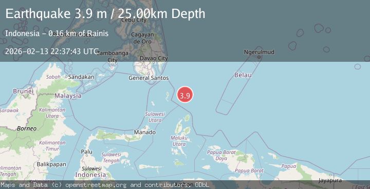
A 3.9 magnitude earthquake struck on NORTH OF HALMAHERA, INDONESIA, at Fri, 13 Feb 2026 22:37:43 GMT. Depth: 25km. Reviewed by BMKG seismologists, this minor quake occurred at a magnitude type of m.
Magnitude
3.9
m
Source
BMKG
Intensity
-
Agency Reports
1 Sources| Source | Magnitude | Depth | Time |
|---|---|---|---|
| BMKGPrimary | 3.9 | 25 km | 4 days ago |
Earthquake Details
AutomaticEvent IDemsc_BMKG_20260213_0000346
Tsunami PotentialNo
Magnitude Typem
Nearest Places
- Snellius Ridge48.1 km
- Talaud Trough102.5 km
- Pulau Kakorotan128.5 km
- Desa Kakorotan128.5 km
- Pulau Intata129.1 km
Comments
Join the discussion about this event.
Latest Earthquakes
2.3Mag
FRANCE
Time1 hour ago
Depth5.00 km
SourceReNaSS (Automatic)
2.3Mag
FRANCE
Time1 hour ago
Depth9.20 km
SourceReNaSS (Automatic)
1.9Mag
Southern California
Time1 hour ago
Depth0.00 km
SourceVYT (Automatic)
1.2Mag
WESTERN TURKEY
Time1 hour ago
Depth4.00 km
SourceAFAD (Automatic)
1.1Mag
Southeastern Alaska
Time1 hour ago
Depth31.25 km
SourceVYT (Automatic)
Nearby Earthquakes
4.7Mag
north of Halmahera, Indonesia
Time2 days ago
Depth10.00 km
SourceVYT (Automatic)
3.2Mag
north of Halmahera, Indonesia
Time2 days ago
Depth10.00 km
SourceVYT (Automatic)
4.4Mag
north of Halmahera, Indonesia
Time2 days ago
Depth10.00 km
SourceVYT (Automatic)
4.5Mag
North of Halmahera, Indonesia
Time4 days ago
Depth10.00 km
SourceBMKG
4.1Mag
North of Halmahera, Indonesia
Time1 day ago
Depth10.00 km
SourceBMKG