Earthquake MORO GULF, MINDANAO, PHILIPPINES
Tue, 14 Nov 2006 10:48:25 GMT
Time19 years ago
Location
6.5600, 123.9800
Depth
55.0 KM
Event Summary
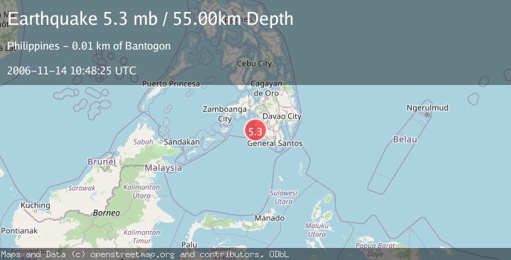
A 5.3 magnitude earthquake struck on MORO GULF, MINDANAO, PHILIPPINES, at Tue, 14 Nov 2006 10:48:25 GMT. Depth: 55km. Reviewed by EMSC seismologists, this moderate quake occurred at a magnitude type of mb.
Magnitude
5.3
mb
Source
EMSC
Intensity
-
Agency Reports
1 Sources| Source | Magnitude | Depth | Time |
|---|---|---|---|
| EMSCPrimary | 5.3 | 55 km | 19 years ago |
Earthquake Details
AutomaticEvent IDemsc_EMSC_20061114_0000056
Tsunami PotentialNo
Magnitude Typemb
Nearest Places
- Donaung Shoals3.9 km
- Nara Point5.5 km
- Pidtaguinan Point5.5 km
- Lebak Island6.1 km
- Poral Point6.1 km
Comments
Join the discussion about this event.
Latest Earthquakes
4.6Mag
Mindanao, Philippines
Time6 hours ago
Depth62.27 km
SourceBMKG
2.9Mag
offshore Coquimbo, Chile
Time6 hours ago
Depth80.08 km
SourceVYT (Automatic)
2.4Mag
Central Alaska
Time6 hours ago
Depth328.98 km
SourceVYT (Automatic)
2.0Mag
FRANCE
Time6 hours ago
Depth9.60 km
SourceReNaSS (Automatic)
3.3Mag
Banda Sea
Time6 hours ago
Depth176.55 km
SourceBMKG
Nearby Earthquakes
5.0Mag
MORO GULF, MINDANAO, PHILIPPINES
Time3 weeks ago
Depth75.60 km
SourceNEIC (Automatic)
4.9Mag
Mindanao, Philippines
Time3 weeks ago
Depth52.86 km
SourceBMKG (Automatic)
5.8Mag
MORO GULF, MINDANAO, PHILIPPINES
Time13 years ago
Depth40.00 km
SourceEMSC (Automatic)
5.0Mag
MORO GULF, MINDANAO, PHILIPPINES
Time13 years ago
Depth10.00 km
SourceEMSC (Automatic)
3.0Mag
MORO GULF, MINDANAO, PHILIPPINES
Time1 year ago
Depth16.00 km
SourcePIVS (Automatic)