Earthquake NEAR N COAST OF PAPUA, INDONESIA
Thu, 19 Nov 2009 23:07:33 GMT
Time16 years ago
Location
-0.7000, 134.6900
Depth
40.0 KM
Event Summary
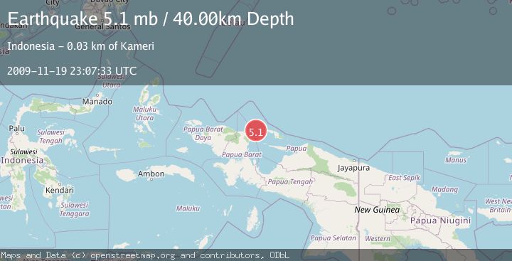
A 5.1 magnitude earthquake struck on NEAR N COAST OF PAPUA, INDONESIA, at Thu, 19 Nov 2009 23:07:33 GMT. Depth: 40km. Reviewed by EMSC seismologists, this moderate quake occurred at a magnitude type of mb.
Magnitude
5.1
mb
Source
EMSC
Intensity
-
Agency Reports
1 Sources| Source | Magnitude | Depth | Time |
|---|---|---|---|
| EMSCPrimary | 5.1 | 40 km | 16 years ago |
Earthquake Details
AutomaticEvent IDemsc_EMSC_20091119_0000051
Tsunami PotentialNo
Magnitude Typemb
Nearest Places
- Tanjung Keretsbari30.4 km
- Jenman31.8 km
- Kampung Yenmanu32.2 km
- Kampung Kornasoren32.6 km
- Kornasoren32.6 km
Comments
Join the discussion about this event.
Latest Earthquakes
1.7Mag
2 km NW of The Geysers, CA
Time19 hours ago
Depth0.79 km
SourceUSGS (Automatic)
2.4Mag
Northern Sumatra, Indonesia
Time19 hours ago
Depth3.00 km
SourceBMKG
2.7Mag
SAN JUAN, ARGENTINA
Time20 hours ago
Depth96.00 km
SourceNSNA (Automatic)
3.9Mag
near the north coast of Papua, Indonesia
Time20 hours ago
Depth43.09 km
SourceVYT (Automatic)
2.2Mag
Antofagasta, Chile
Time20 hours ago
Depth125.73 km
SourceVYT (Automatic)
Nearby Earthquakes
3.9Mag
near the north coast of Papua, Indonesia
Time20 hours ago
Depth43.09 km
SourceVYT (Automatic)
5.5Mag
NEAR N COAST OF PAPUA, INDONESIA
Time11 years ago
Depth10.00 km
SourceEMSC (Automatic)
2.4Mag
West Papua Region, Indonesia
Time1 week ago
Depth20.30 km
SourceBMKG (Automatic)
2.7Mag
West Papua Region, Indonesia
Time1 week ago
Depth31.14 km
SourceBMKG
2.7Mag
NEAR N COAST OF PAPUA, INDONESIA
Time1 month ago
Depth6.00 km
SourceBMKG (Automatic)