Earthquake HALMAHERA, INDONESIA
Wed, 17 Feb 2016 17:26:03 GMT
Time10 years ago
Location
0.8500, 129.0700
Depth
10.0 KM
Event Summary
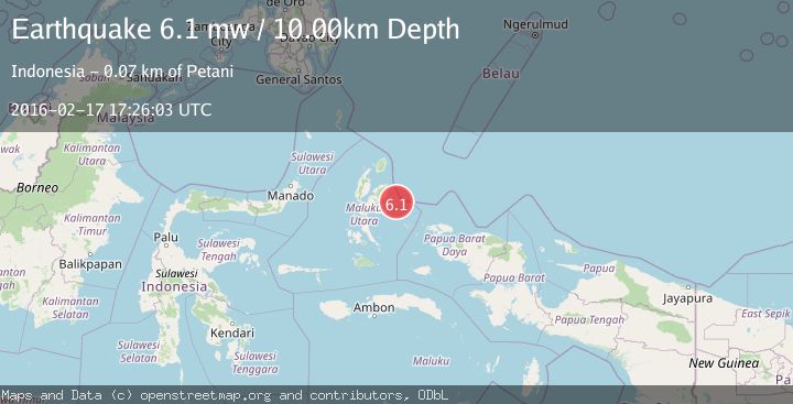
A 6.1 magnitude earthquake struck on HALMAHERA, INDONESIA, at Wed, 17 Feb 2016 17:26:03 GMT. Depth: 10km. Reviewed by EMSC seismologists, this strong quake occurred at a magnitude type of mw.
Magnitude
6.1
mw
Source
EMSC
Intensity
-
Agency Reports
1 Sources| Source | Magnitude | Depth | Time |
|---|---|---|---|
| EMSCPrimary | 6.1 | 10 km | 10 years ago |
Earthquake Details
AutomaticEvent IDemsc_EMSC_20160217_0000063
Tsunami PotentialNo
Magnitude Typemw
Nearest Places
- Kepulauan Jiew13.8 km
- Pulau Yiew15.7 km
- Pulau Togoplun21.3 km
- Canton Packet30.6 km
- Desa Sakam44.5 km
Comments
Join the discussion about this event.
Latest Earthquakes
1.5Mag
Southern Alaska
Time22 hours ago
Depth67.26 km
SourceVYT (Automatic)
2.4Mag
Northern Sumatra, Indonesia
Time22 hours ago
Depth12.76 km
SourceBMKG
1.2Mag
10 km NW of The Geysers, CA
Time23 hours ago
Depth1.41 km
SourceUSGS (Automatic)
1.0Mag
Southern Alaska
Time23 hours ago
Depth14.53 km
SourceVYT (Automatic)
3.5Mag
Kepulauan Mentawai region, Indonesia
Time23 hours ago
Depth29.42 km
SourceVYT (Automatic)
Nearby Earthquakes
3.0Mag
HALMAHERA, INDONESIA
Time11 months ago
Depth10.00 km
SourceBMKG (Automatic)
3.5Mag
HALMAHERA, INDONESIA
Time3 weeks ago
Depth10.00 km
SourceBMKG (Automatic)
2.9Mag
HALMAHERA, INDONESIA
Time1 month ago
Depth10.00 km
SourceBMKG (Automatic)
3.0Mag
HALMAHERA, INDONESIA
Time1 year ago
Depth25.00 km
SourceBMKG (Automatic)
4.0Mag
HALMAHERA, INDONESIA
Time5 years ago
Depth10.00 km
SourceDJA (Automatic)