Earthquake 10 km NW of The Geysers, CA
Tue, 17 Feb 2026 15:45:00 GMT
Time17 hours ago
Location
38.8393, -122.8383
Depth
1.4 KM
Event Summary
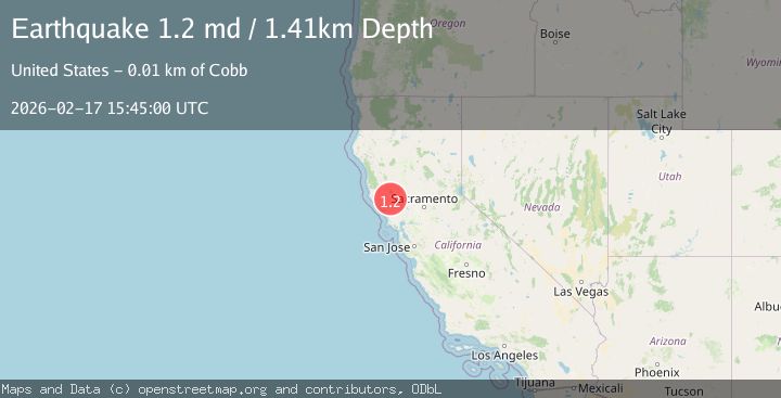
A 1.2 magnitude earthquake struck on 10 km NW of The Geysers, CA, at Tue, 17 Feb 2026 15:45:00 GMT. Depth: 1.4099999666214km. Reviewed by USGS seismologists, this minor quake occurred at a magnitude type of md.
Magnitude
1.2
md
Source
USGS
Intensity
-
Agency Reports
1 Sources| Source | Magnitude | Depth | Time |
|---|---|---|---|
| USGSPrimary | 1.2 | 1 km | 17 hours ago |
Earthquake Details
AutomaticEvent IDusgs_nc75315142
Tsunami PotentialNo
Magnitude Typemd
Nearest Places
- Wildhorse Creek0.3 km
- Black Oaks1.1 km
- Caldwell Ranch1.1 km
- Coldwater Canyon1.4 km
- Hummingbird Creek1.7 km
Comments
Join the discussion about this event.
Latest Earthquakes
1.5Mag
Southern Alaska
Time17 hours ago
Depth67.26 km
SourceVYT (Automatic)
2.4Mag
Northern Sumatra, Indonesia
Time17 hours ago
Depth8.31 km
SourceBMKG
1.0Mag
Southern Alaska
Time17 hours ago
Depth14.53 km
SourceVYT (Automatic)
3.5Mag
Kepulauan Mentawai region, Indonesia
Time17 hours ago
Depth29.42 km
SourceVYT (Automatic)
0.8Mag
30 km ESE of Lake Isabella, CA
Time17 hours ago
Depth6.21 km
SourceUSGS (Automatic)
Nearby Earthquakes
1.6Mag
10 km NW of The Geysers, CA
Time3 weeks ago
Depth1.46 km
SourceUSGS (Automatic)
0.6Mag
10 km NW of The Geysers, CA
Time18 hours ago
Depth1.32 km
SourceUSGS (Automatic)
1.1Mag
10 km NW of The Geysers, CA
Time2 weeks ago
Depth1.18 km
SourceUSGS (Automatic)
0.5Mag
Northern California
Time3 weeks ago
Depth2.00 km
SourceUSGS (Automatic)
0.7Mag
10 km NW of The Geysers, CA
Time3 weeks ago
Depth1.16 km
SourceUSGS (Automatic)