Earthquake NORTH OF HALMAHERA, INDONESIA
Wed, 12 May 2021 18:20:29 GMT
Time4 years ago
Location
3.9700, 128.6100
Depth
61.0 KM
Event Summary
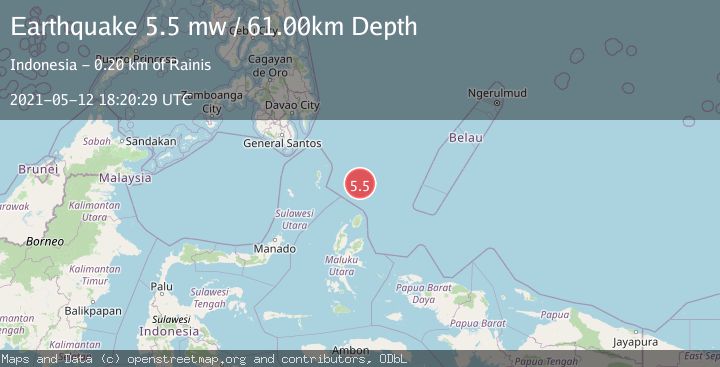
A 5.5 magnitude earthquake struck on NORTH OF HALMAHERA, INDONESIA, at Wed, 12 May 2021 18:20:29 GMT. Depth: 61km. Reviewed by EMSC seismologists, this moderate quake occurred at a magnitude type of mw.
Magnitude
5.5
mw
Source
EMSC
Intensity
-
Agency Reports
1 Sources| Source | Magnitude | Depth | Time |
|---|---|---|---|
| EMSCPrimary | 5.5 | 61 km | 4 years ago |
Earthquake Details
AutomaticEvent IDemsc_EMSC_20210512_0000160
Tsunami PotentialNo
Magnitude Typemw
Nearest Places
- Snellius Ridge67.8 km
- Morotai Basin127.3 km
- Talaud Trough132.4 km
- Pulau Karis143.9 km
- Tanjung Sopi147.6 km
Comments
Join the discussion about this event.
Latest Earthquakes
2.6Mag
western Texas
Time2 minutes ago
Depth12.70 km
SourceVYT (Automatic)
2.0Mag
Sumbawa Region, Indonesia
Time3 minutes ago
Depth21.49 km
SourceBMKG
1.0Mag
Southern Alaska
Time3 minutes ago
Depth1.34 km
SourceVYT (Automatic)
1.7Mag
Dead Sea region
Time4 minutes ago
Depth0.00 km
SourceVYT (Automatic)
2.8Mag
ICELAND
Time6 minutes ago
Depth0.30 km
SourceIMO (Automatic)
Nearby Earthquakes
5.2Mag
NORTH OF HALMAHERA, INDONESIA
Time1 year ago
Depth53.00 km
SourceEMSC (Automatic)
5.1Mag
NORTH OF HALMAHERA, INDONESIA
Time4 years ago
Depth10.00 km
SourceEMSC (Automatic)
4.6Mag
North of Halmahera, Indonesia
Time7 hours ago
Depth14.71 km
SourceBMKG
4.4Mag
North of Halmahera, Indonesia
Time7 hours ago
Depth30.29 km
SourceBMKG
5.6Mag
NORTH OF HALMAHERA, INDONESIA
Time9 years ago
Depth10.00 km
SourceEMSC (Automatic)