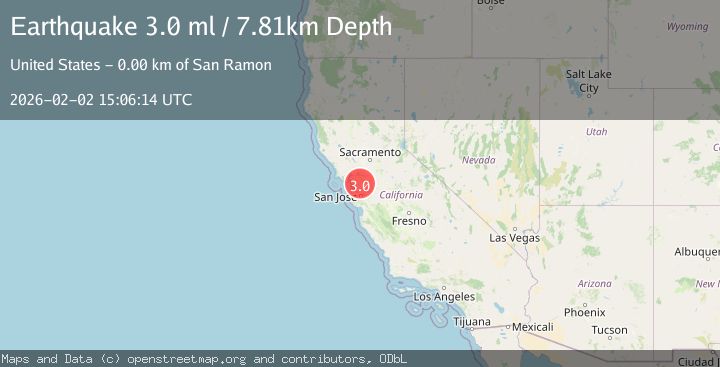
Earthquake SAN FRANCISCO BAY AREA, CALIF.
Mon, 02 Feb 2026 14:27:00 GMT
Time3 hours ago
Location
37.7540, -121.9443
Depth
9.5 KM
Event Summary
A 3.7 magnitude earthquake struck on SAN FRANCISCO BAY AREA, CALIF., at Mon, 02 Feb 2026 14:27:00 GMT. Depth: 9.5km. Reviewed by NC seismologists, this minor quake occurred at a magnitude type of ml.
Magnitude
3.7
ml
Source
NC
Intensity
-
Agency Reports
1 Sources| Source | Magnitude | Depth | Time |
|---|---|---|---|
| NCPrimary | 3.7 | 10 km | 3 hours ago |
Earthquake Details
AutomaticEvent IDemsc_NC_20260202_0000224
Tsunami PotentialNo
Magnitude Typeml
Nearest Places
- Coyote Creek0.2 km
- San Ramon Village Shopping Center0.3 km
- Montevideo Elementary School0.5 km
- San Ramon Library0.8 km
- California High School0.8 km
Comments
Join the discussion about this event.
Latest Earthquakes
2.9Mag
Talaud Islands, Indonesia
Time3 hours ago
Depth40.31 km
SourceBMKG (Automatic)
2.5Mag
West Papua Region, Indonesia
Time3 hours ago
Depth9.00 km
SourceBMKG (Automatic)
3.5Mag
Northern Molucca Sea
Time3 hours ago
Depth16.12 km
SourceBMKG (Automatic)
1.2Mag
108 km S of McCarthy, Alaska
Time3 hours ago
Depth8.60 km
SourceUSGS (Automatic)
4.6Mag
VALPARAISO, CHILE
Time4 hours ago
Depth112.10 km
SourceCSN (Automatic)
Nearby Earthquakes
1.9Mag
4 km SE of San Ramon, CA
Time1 week ago
Depth8.30 km
SourceUSGS (Automatic)
3.4Mag
SAN FRANCISCO BAY AREA, CALIF.
Time2 days ago
Depth6.70 km
SourceNC (Automatic)
1.3Mag
4 km SE of San Ramon, CA
Time5 days ago
Depth1.02 km
SourceUSGS (Automatic)
2.2Mag
SAN FRANCISCO BAY AREA, CALIF.
Time2 days ago
Depth8.70 km
SourceNC (Automatic)
1.7Mag
5 km N of Dublin, CA
Time2 days ago
Depth7.61 km
SourceUSGS (Automatic)