Earthquake SAN FRANCISCO BAY AREA, CALIF.
Fri, 30 Jan 2026 18:33:09 GMT
Time1 hour ago
Location
37.7503, -121.9392
Depth
6.7 KM
Event Summary
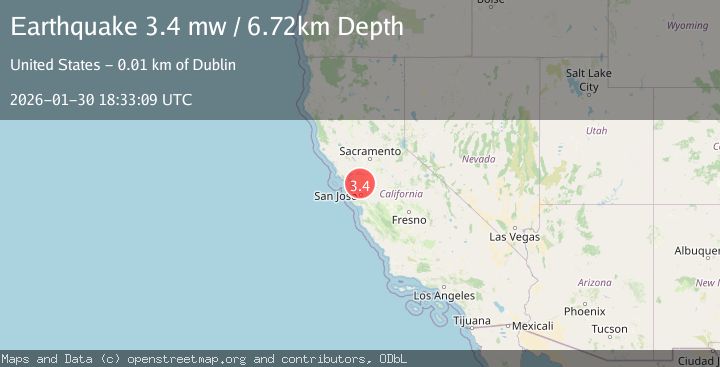
A 3.4 magnitude earthquake struck on SAN FRANCISCO BAY AREA, CALIF., at Fri, 30 Jan 2026 18:33:09 GMT. Depth: 6.7km. Reviewed by NC seismologists, this minor quake occurred at a magnitude type of ml.
Magnitude
3.4
ml
Source
NC
Intensity
-
Agency Reports
1 Sources| Source | Magnitude | Depth | Time |
|---|---|---|---|
| NCPrimary | 3.4 | 7 km | 1 hour ago |
Earthquake Details
AutomaticEvent IDemsc_NC_20260130_0000311
Tsunami PotentialNo
Magnitude Typeml
Nearest Places
Comments
Join the discussion about this event.
Latest Earthquakes
1.3Mag
5 km WNW of Cobb, CA
Time1 hour ago
Depth1.96 km
SourceUSGS (Automatic)
5.0Mag
Celebes Sea
Time1 hour ago
Depth10.00 km
SourceBMKG (Automatic)
3.5Mag
COQUIMBO, CHILE
Time1 hour ago
Depth27.50 km
SourceCSN (Automatic)
2.3Mag
60 km NNE of Karluk, Alaska
Time1 hour ago
Depth75.30 km
SourceUSGS (Automatic)
2.5Mag
Near North Coast of Papua New Guinea
Time1 hour ago
Depth13.56 km
SourceBMKG (Automatic)
Nearby Earthquakes
1.9Mag
4 km SE of San Ramon, CA
Time1 week ago
Depth8.30 km
SourceUSGS (Automatic)
1.3Mag
4 km SE of San Ramon, CA
Time2 days ago
Depth1.02 km
SourceUSGS (Automatic)
1.6Mag
4 km ESE of San Ramon, CA
Time15 hours ago
Depth7.46 km
SourceUSGS (Automatic)
1.6Mag
3 km ESE of San Ramon, CA
Time2 days ago
Depth7.43 km
SourceUSGS (Automatic)
1.6Mag
3 km ESE of San Ramon, CA
Time6 days ago
Depth7.67 km
SourceUSGS (Automatic)