Earthquake 106 km NW of Yakutat, Alaska
Fri, 13 Feb 2026 21:23:37 GMT
Time4 days ago
Location
60.2340, -141.0440
Depth
17.5 KM
Event Summary
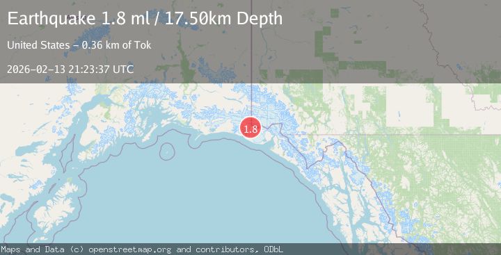
A 1.8 magnitude earthquake struck on 106 km NW of Yakutat, Alaska, at Fri, 13 Feb 2026 21:23:37 GMT. Depth: 17.5km. Reviewed by USGS seismologists, this minor quake occurred at a magnitude type of ml.
Magnitude
1.8
ml
Source
USGS
Intensity
-
Agency Reports
1 Sources| Source | Magnitude | Depth | Time |
|---|---|---|---|
| USGSPrimary | 1.8 | 18 km | 4 days ago |
Earthquake Details
AutomaticEvent IDusgs_ak2026dcotzh
Tsunami PotentialNo
Magnitude Typeml
Nearest Places
- Haydon Peak4.3 km
- Tyndall Glacier6.9 km
- Hoof Hill7.7 km
- Crater Basin8.3 km
- Libbey Glacier8.4 km
Comments
Join the discussion about this event.
Latest Earthquakes
1.1Mag
Southern Alaska
Time2 minutes ago
Depth37.11 km
SourceVYT (Automatic)
1.1Mag
Washington
Time6 minutes ago
Depth9.64 km
SourceVYT (Automatic)
1.9Mag
32 km NW of Toyah, Texas
Time8 minutes ago
Depth4.09 km
SourceUSGS (Automatic)
1.7Mag
western Texas
Time11 minutes ago
Depth3.42 km
SourceVYT (Automatic)
3.8Mag
Seram, Indonesia
Time13 minutes ago
Depth0.00 km
SourceVYT (Automatic)
Nearby Earthquakes
1.7Mag
Southeastern Alaska
Time3 hours ago
Depth18.43 km
SourceVYT (Automatic)
1.6Mag
106 km NW of Yakutat, Alaska
Time4 days ago
Depth14.40 km
SourceUSGS (Automatic)
3.0Mag
SOUTHERN ALASKA
Time6 years ago
Depth4.00 km
SourceNEIC (Automatic)
2.0Mag
Southeastern Alaska
Time1 day ago
Depth19.90 km
SourceVYT (Automatic)
1.9Mag
104 km NW of Yakutat, Alaska
Time1 week ago
Depth5.00 km
SourceUSGS (Automatic)