Earthquake SOUTHEASTERN ALASKA
Fri, 02 Jan 2026 20:13:38 GMT
Time1 month ago
Location
59.9967, -141.3560
Depth
16.9 KM
Event Summary
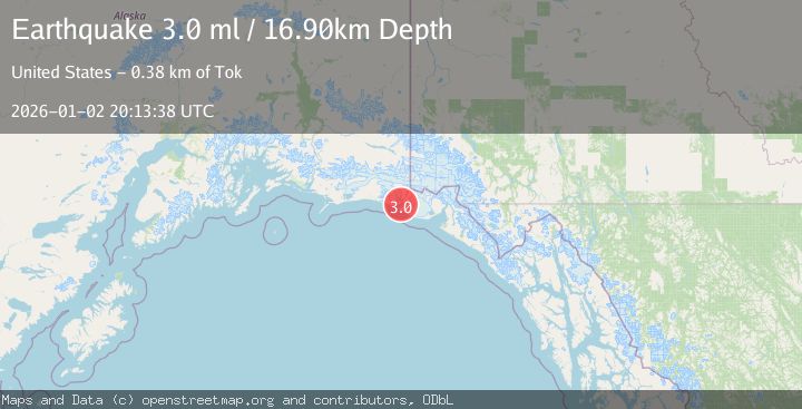
A 3.0 magnitude earthquake struck on SOUTHEASTERN ALASKA, at Fri, 02 Jan 2026 20:13:38 GMT. Depth: 16.9km. Reviewed by NEIC seismologists, this minor quake occurred at a magnitude type of ml.
Magnitude
3.0
ml
Source
NEIC
Intensity
-
Agency Reports
1 Sources| Source | Magnitude | Depth | Time |
|---|---|---|---|
| NEICPrimary | 3.0 | 17 km | 1 month ago |
Earthquake Details
AutomaticEvent IDemsc_NEIC_20260102_0000272
Tsunami PotentialNo
Magnitude Typeml
Nearest Places
- Kichyatt Point3.3 km
- Independence Creek3.6 km
- Gull Island4.7 km
- Caetani River5.1 km
- Kageet Point6.8 km
Comments
Join the discussion about this event.
Latest Earthquakes
1.4Mag
Kenai Peninsula, Alaska
Time15 hours ago
Depth35.28 km
SourceVYT (Automatic)
1.1Mag
87 km N of Karluk, Alaska
Time15 hours ago
Depth5.00 km
SourceUSGS (Automatic)
2.3Mag
Southern Sumatra, Indonesia
Time15 hours ago
Depth36.72 km
SourceBMKG
2.6Mag
Java, Indonesia
Time15 hours ago
Depth62.13 km
SourceBMKG
1.8Mag
Tarapaca, Chile
Time15 hours ago
Depth0.00 km
SourceVYT (Automatic)
Nearby Earthquakes
3.1Mag
SOUTHEASTERN ALASKA
Time2 weeks ago
Depth15.40 km
SourceAK (Automatic)
3.0Mag
SOUTHEASTERN ALASKA
Time7 years ago
Depth6.00 km
SourceNEIR (Automatic)
2.1Mag
111 km WNW of Yakutat, Alaska
Time3 weeks ago
Depth8.00 km
SourceUSGS (Automatic)
2.6Mag
96 km WNW of Yakutat, Alaska
Time3 weeks ago
Depth4.10 km
SourceUSGS (Automatic)
1.6Mag
94 km WNW of Yakutat, Alaska
Time2 weeks ago
Depth22.60 km
SourceUSGS (Automatic)