Earthquake SOUTHERN YUKON TERRITORY, CANADA
Wed, 07 Jan 2026 06:50:10 GMT
Time1 month ago
Location
60.4939, -140.1280
Depth
5.0 KM
Event Summary
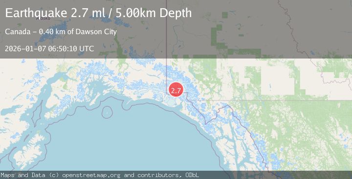
A 2.7 magnitude earthquake struck on SOUTHERN YUKON TERRITORY, CANADA, at Wed, 07 Jan 2026 06:50:10 GMT. Depth: 5km. Reviewed by NEIC seismologists, this minor quake occurred at a magnitude type of ml.
Magnitude
2.7
ml
Source
NEIC
Intensity
-
Agency Reports
1 Sources| Source | Magnitude | Depth | Time |
|---|---|---|---|
| NEICPrimary | 2.7 | 5 km | 1 month ago |
Earthquake Details
AutomaticEvent IDemsc_NEIC_20260107_0000445
Tsunami PotentialNo
Magnitude Typeml
Nearest Places
- Marker Lake8.0 km
- McArthur Peak13.3 km
- Mount Logan17.2 km
- Mount King George19.1 km
- Corwin Cliffs23.9 km
Comments
Join the discussion about this event.
Latest Earthquakes
2.8Mag
Poland
Time3 hours ago
Depth10.50 km
SourceVYT (Automatic)
2.1Mag
Northern Sumatra, Indonesia
Time3 hours ago
Depth65.56 km
SourceBMKG
1.1Mag
Central Alaska
Time3 hours ago
Depth74.95 km
SourceVYT (Automatic)
3.8Mag
Atacama, Chile
Time3 hours ago
Depth113.40 km
SourceVYT (Automatic)
1.4Mag
Southeastern Alaska
Time3 hours ago
Depth0.00 km
SourceVYT (Automatic)
Nearby Earthquakes
3.0Mag
SOUTHERN YUKON TERRITORY, CANADA
Time1 month ago
Depth5.00 km
SourceNEIC (Automatic)
2.7Mag
SOUTHERN YUKON TERRITORY, CANADA
Time2 months ago
Depth5.00 km
SourceNEIC (Automatic)
2.9Mag
SOUTHERN YUKON TERRITORY, CANADA
Time1 month ago
Depth5.00 km
SourceNEIC (Automatic)
3.0Mag
SOUTHERN YUKON TERRITORY, CANADA
Time1 month ago
Depth5.00 km
SourceNEIC (Automatic)
3.0Mag
SOUTHERN YUKON TERRITORY, CANADA
Time1 month ago
Depth5.10 km
SourceNEIC (Automatic)