Earthquake CENTRAL ALASKA
Wed, 14 Jan 2026 06:43:23 GMT
Time1 month ago
Location
63.0975, -150.8685
Depth
123.5 KM
Event Summary
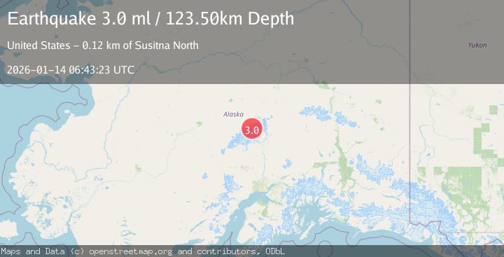
A 3.0 magnitude earthquake struck on CENTRAL ALASKA, at Wed, 14 Jan 2026 06:43:23 GMT. Depth: 123.5km. Reviewed by NEIC seismologists, this minor quake occurred at a magnitude type of ml.
Magnitude
3.0
ml
Source
NEIC
Intensity
-
Agency Reports
1 Sources| Source | Magnitude | Depth | Time |
|---|---|---|---|
| NEICPrimary | 3.0 | 124 km | 1 month ago |
Earthquake Details
AutomaticEvent IDemsc_NEIC_20260114_0000070
Tsunami PotentialNo
Magnitude Typeml
Nearest Places
- Traleika Icefall0.7 km
- West Fork Traleika Glacier2.1 km
- Browne Tower3.0 km
- Karstens Ridge3.1 km
- Parker Pass3.4 km
Comments
Join the discussion about this event.
Latest Earthquakes
2.8Mag
Sunda Strait, Indonesia
Time13 hours ago
Depth3.61 km
SourceBMKG
3.6Mag
south of Alaska
Time13 hours ago
Depth10.00 km
SourceVYT (Automatic)
1.2Mag
Central Alaska
Time13 hours ago
Depth68.97 km
SourceVYT (Automatic)
1.2Mag
Washington
Time13 hours ago
Depth0.00 km
SourceVYT (Automatic)
0.8Mag
10 km WNW of The Geysers, CA
Time13 hours ago
Depth1.96 km
SourceUSGS (Automatic)
Nearby Earthquakes
2.3Mag
63 km SE of Denali National Park, Alaska
Time3 weeks ago
Depth127.50 km
SourceUSGS (Automatic)
2.0Mag
64 km N of Petersville, Alaska
Time2 weeks ago
Depth113.50 km
SourceUSGS (Automatic)
2.3Mag
CENTRAL ALASKA
Time1 month ago
Depth122.70 km
SourceNEIC (Automatic)
2.9Mag
63 km SE of Denali National Park, Alaska
Time3 weeks ago
Depth123.60 km
SourceUSGS (Automatic)
2.4Mag
CENTRAL ALASKA
Time0 months ago
Depth125.20 km
SourceNEIC (Automatic)