Earthquake GULF OF ALASKA
Mon, 29 Jan 2018 20:47:48 GMT
Time8 years ago
Location
56.3400, -149.2600
Depth
12.0 KM
Event Summary
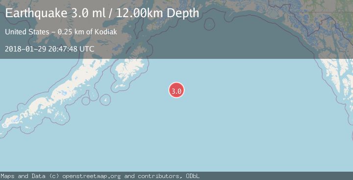
A 3.0 magnitude earthquake struck on GULF OF ALASKA, at Mon, 29 Jan 2018 20:47:48 GMT. Depth: 12km. Reviewed by NEIR seismologists, this minor quake occurred at a magnitude type of ml.
Magnitude
3.0
ml
Source
NEIR
Intensity
-
Agency Reports
1 Sources| Source | Magnitude | Depth | Time |
|---|---|---|---|
| NEIRPrimary | 3.0 | 12 km | 8 years ago |
Earthquake Details
AutomaticEvent IDemsc_NEIR_20180129_0000173
Tsunami PotentialNo
Magnitude Typeml
Nearest Places
- 58.6 km
- 125.1 km
- 142.8 km
- 144.9 km
- 175.3 km
Comments
Join the discussion about this event.
Latest Earthquakes
2.7Mag
Near North Coast of West Papua
Time5 minutes ago
Depth17.60 km
SourceBMKG
1.3Mag
22 km E of Anderson, Alaska
Time5 minutes ago
Depth14.10 km
SourceUSGS (Automatic)
2.6Mag
West Papua Region, Indonesia
Time7 minutes ago
Depth10.00 km
SourceBMKG
0.6Mag
2 km NW of The Geysers, CA
Time12 minutes ago
Depth3.79 km
SourceUSGS (Automatic)
3.2Mag
Peru-Bolivia border region
Time13 minutes ago
Depth139.65 km
SourceVYT (Automatic)
Nearby Earthquakes
4.0Mag
GULF OF ALASKA
Time7 years ago
Depth12.00 km
SourceNEIR (Automatic)
3.0Mag
GULF OF ALASKA
Time8 years ago
Depth12.00 km
SourceNEIR (Automatic)
3.0Mag
GULF OF ALASKA
Time8 years ago
Depth10.00 km
SourceNEIR (Automatic)
3.0Mag
GULF OF ALASKA
Time2 years ago
Depth10.00 km
SourceNEIC (Automatic)
3.0Mag
GULF OF ALASKA
Time8 years ago
Depth10.00 km
SourceNEIC (Automatic)