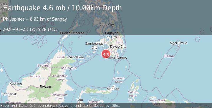
Earthquake MORO GULF, MINDANAO, PHILIPPINES
Wed, 28 Jan 2026 12:20:27 GMT
Time1 hour ago
Location
6.4600, 123.7100
Depth
8.0 KM
Event Summary
A 4.3 magnitude earthquake struck on MORO GULF, MINDANAO, PHILIPPINES, at Wed, 28 Jan 2026 12:20:27 GMT. Depth: 8km. Reviewed by PIVS seismologists, this light quake occurred at a magnitude type of m.
Magnitude
4.3
m
Source
PIVS
Intensity
-
Agency Reports
1 Sources| Source | Magnitude | Depth | Time |
|---|---|---|---|
| PIVSPrimary | 4.3 | 8 km | 1 hour ago |
Earthquake Details
AutomaticEvent IDemsc_PIVS_20260128_0000223
Tsunami PotentialNo
Magnitude Typem
Nearest Places
- Donaung Shoals31.3 km
- Donauang Island34.5 km
- Basiauang Bay35.2 km
- Nara Point35.3 km
- Point Pitas35.4 km
Comments
Join the discussion about this event.
Latest Earthquakes
0.8Mag
7 km WNW of Cobb, CA
Time1 hour ago
Depth2.06 km
SourceUSGS (Automatic)
4.1Mag
Off West Coast of Northern Sumatra
Time1 hour ago
Depth31.85 km
SourceBMKG (Automatic)
1.8Mag
14 km NE of Indio, CA
Time1 hour ago
Depth2.39 km
SourceUSGS (Automatic)
1.3Mag
23 km SW of Snyder, Texas
Time1 hour ago
Depth2.69 km
SourceUSGS (Automatic)
2.5Mag
Minahassa Peninsula, Sulawesi
Time1 hour ago
Depth47.66 km
SourceBMKG (Automatic)
Nearby Earthquakes
3.4Mag
MORO GULF, MINDANAO, PHILIPPINES
Time5 days ago
Depth9.00 km
SourcePIVS (Automatic)
3.6Mag
MORO GULF, MINDANAO, PHILIPPINES
Time2 days ago
Depth3.00 km
SourcePIVS (Automatic)
5.4Mag
Mindanao, Philippines
Time12 hours ago
Depth16.72 km
SourceBMKG (Automatic)
3.1Mag
MORO GULF, MINDANAO, PHILIPPINES
Time5 days ago
Depth10.00 km
SourcePIVS (Automatic)
3.5Mag
MORO GULF, MINDANAO, PHILIPPINES
Time16 hours ago
Depth4.00 km
SourcePIVS (Automatic)