Earthquake MORO GULF, MINDANAO, PHILIPPINES
Tue, 03 Feb 2026 19:34:03 GMT
Time1 day ago
Location
6.4400, 123.7100
Depth
2.0 KM
Event Summary
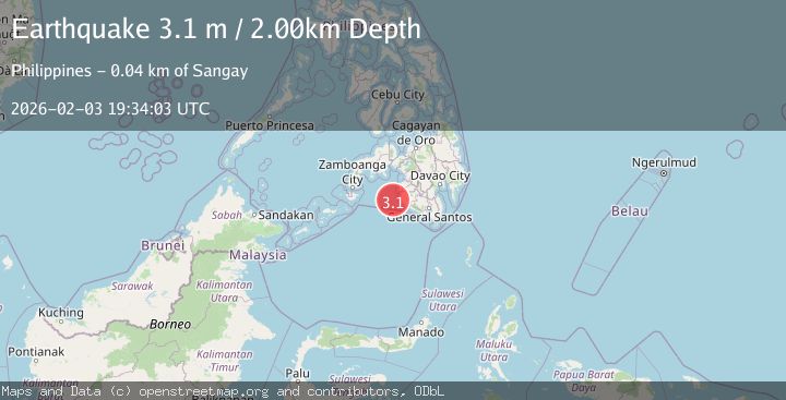
A 3.1 magnitude earthquake struck on MORO GULF, MINDANAO, PHILIPPINES, at Tue, 03 Feb 2026 19:34:03 GMT. Depth: 2km. Reviewed by PIVS seismologists, this minor quake occurred at a magnitude type of m.
Magnitude
3.1
m
Source
PIVS
Intensity
-
Agency Reports
1 Sources| Source | Magnitude | Depth | Time |
|---|---|---|---|
| PIVSPrimary | 3.1 | 2 km | 1 day ago |
Earthquake Details
AutomaticEvent IDemsc_PIVS_20260203_0000280
Tsunami PotentialNo
Magnitude Typem
Nearest Places
- Donaung Shoals31.9 km
- Donauang Island34.6 km
- Basiauang Bay35.3 km
- Danawan Point35.5 km
- Basiauang Point35.6 km
Comments
Join the discussion about this event.
Latest Earthquakes
2.4Mag
Minahassa Peninsula, Sulawesi
Time9 minutes ago
Depth86.87 km
SourceBMKG (Automatic)
2.2Mag
ALBANIA
Time18 minutes ago
Depth15.00 km
SourceIGEO (Automatic)
2.4Mag
Northern Sumatra, Indonesia
Time19 minutes ago
Depth64.64 km
SourceBMKG (Automatic)
3.0Mag
PHILIPPINE ISLANDS REGION
Time32 minutes ago
Depth32.00 km
SourcePIVS (Automatic)
1.6Mag
WESTERN TURKEY
Time33 minutes ago
Depth11.80 km
SourceAFAD (Automatic)
Nearby Earthquakes
3.4Mag
MORO GULF, MINDANAO, PHILIPPINES
Time1 week ago
Depth9.00 km
SourcePIVS (Automatic)
5.4Mag
Mindanao, Philippines
Time1 week ago
Depth16.72 km
SourceBMKG (Automatic)
3.1Mag
MORO GULF, MINDANAO, PHILIPPINES
Time1 week ago
Depth10.00 km
SourcePIVS (Automatic)
4.8Mag
MORO GULF, MINDANAO, PHILIPPINES
Time1 week ago
Depth8.00 km
SourcePIVS (Automatic)
5.0Mag
MORO GULF, MINDANAO, PHILIPPINES
Time5 days ago
Depth14.00 km
SourcePIVS (Automatic)