Earthquake 114 km NW of Yakutat, Alaska
Sat, 03 Jan 2026 18:06:44 GMT
Time4 days ago
Location
60.2070, -141.2950
Depth
15.3 KM
Event Summary
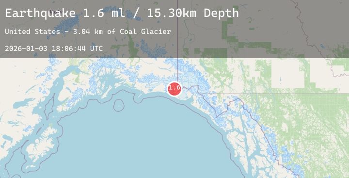
A 1.6 magnitude earthquake struck on 114 km NW of Yakutat, Alaska, at Sat, 03 Jan 2026 18:06:44 GMT. Depth: 15.3km. Reviewed by USGS seismologists, this minor quake occurred at a magnitude type of ml.
Magnitude
1.6
ml
Source
USGS
Intensity
-
Agency Reports
1 Sources| Source | Magnitude | Depth | Time |
|---|---|---|---|
| USGSPrimary | 1.6 | 15 km | 4 days ago |
Earthquake Details
AutomaticEvent IDusgs_ak2026afbmgf
Tsunami PotentialNo
Magnitude Typeml
Nearest Places
- Coal Glacier3.0 km
- Daisy Glacier5.0 km
- Karr Hills6.8 km
- Tyndall Glacier8.5 km
- Guyot Hills10.2 km
Comments
Join the discussion about this event.
Latest Earthquakes
1.9Mag
20 km SW of Hope, Alaska
Time4 days ago
Depth33.80 km
SourceUSGS (Automatic)
1.4Mag
2 km W of Universal City, CA
Time4 days ago
Depth17.47 km
SourceUSGS (Automatic)
2.1Mag
CENTRAL ITALY
Time4 days ago
Depth7.80 km
SourceINGV (Automatic)
2.0Mag
Northern Sumatra, Indonesia
Time4 days ago
Depth21.97 km
SourceBMKG (Automatic)
2.9Mag
Northern Sumatra, Indonesia
Time4 days ago
Depth4.78 km
SourceBMKG (Automatic)
Nearby Earthquakes
1.9Mag
90 km NW of Yakutat, Alaska
Time4 days ago
Depth17.80 km
SourceUSGS (Automatic)
1.7Mag
77 km NW of Yakutat, Alaska
Time5 days ago
Depth18.60 km
SourceUSGS (Automatic)
3.5Mag
SOUTHERN YUKON TERRITORY, CANADA
Time5 days ago
Depth5.00 km
SourceNEIC (Automatic)
2.3Mag
88 km N of Yakutat, Alaska
Time5 days ago
Depth5.00 km
SourceUSGS (Automatic)