Earthquake 85 km NNW of Karluk, Alaska
Sun, 04 Jan 2026 06:26:31 GMT
Time4 days ago
Location
58.2870, -154.9550
Depth
2.8 KM
Event Summary
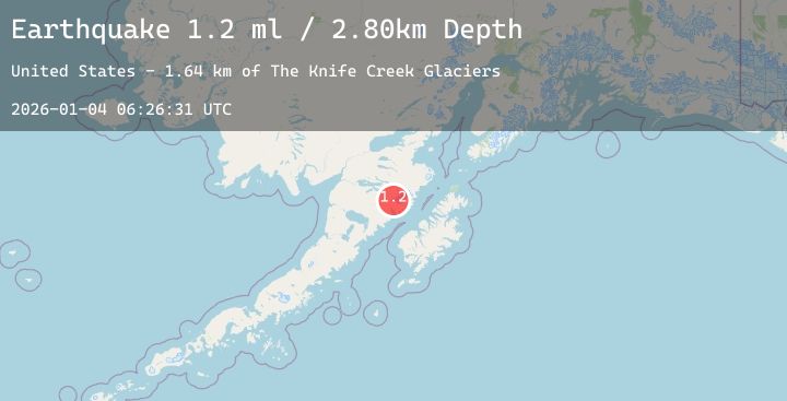
A 1.2 magnitude earthquake struck on 85 km NNW of Karluk, Alaska, at Sun, 04 Jan 2026 06:26:31 GMT. Depth: 2.8km. Reviewed by USGS seismologists, this minor quake occurred at a magnitude type of ml.
Magnitude
1.2
ml
Source
USGS
Intensity
-
Agency Reports
1 Sources| Source | Magnitude | Depth | Time |
|---|---|---|---|
| USGSPrimary | 1.2 | 3 km | 4 days ago |
Earthquake Details
AutomaticEvent IDusgs_ak2026afzzss
Tsunami PotentialNo
Magnitude Typeml
Nearest Places
- Mount Katmai0.9 km
- Crater Lake3.0 km
- The Knife Creek Glaciers3.0 km
- The Knife Creek Glacier5.3 km
- Noisy Glacier5.7 km
Comments
Join the discussion about this event.
Latest Earthquakes
2.2Mag
WESTERN TURKEY
Time4 days ago
Depth7.00 km
SourceAFAD (Automatic)
3.1Mag
TARAPACA, CHILE
Time4 days ago
Depth104.70 km
SourceCSN (Automatic)
4.3Mag
VERACRUZ, MEXICO
Time4 days ago
Depth26.00 km
SourceUNM (Automatic)
2.2Mag
NORTHERN CALIFORNIA
Time4 days ago
Depth5.10 km
SourceNC (Automatic)
1.8Mag
13 km ESE of Pāhala, Hawaii
Time4 days ago
Depth29.52 km
SourceUSGS (Automatic)
Nearby Earthquakes
0.5Mag
82 km NNW of Karluk, Alaska
Time4 days ago
Depth5.00 km
SourceUSGS (Automatic)
0.7Mag
84 km NNW of Karluk, Alaska
Time4 days ago
Depth5.00 km
SourceUSGS (Automatic)
1.9Mag
51 km W of Karluk, Alaska
Time4 days ago
Depth81.80 km
SourceUSGS (Automatic)
2.4Mag
41 km WSW of Karluk, Alaska
Time4 days ago
Depth74.90 km
SourceUSGS (Automatic)
2.0Mag
66 km ESE of Egegik, Alaska
Time4 days ago
Depth126.50 km
SourceUSGS (Automatic)